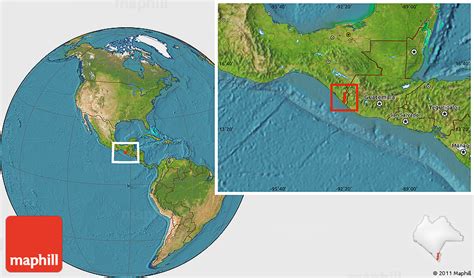
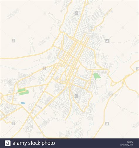
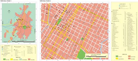
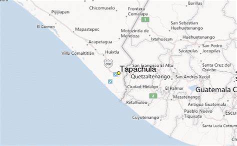
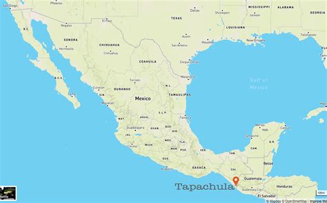
Location: Tapachula 🌎
Location: Tapachula, Mexico
Administration Region: Chiapas
Population: 348156
ISO2 Code: Chiapas
ISO3 Code: MEX
Location Type: Lower-level Admin Capital
Latitude: 14.9
Longitude: -92.2667
Tapachula de Córdova y Ordóñez, simply known as Tapachula, is a city and municipality located in the far southeast of the state of Chiapas in Mexico, near the Guatemalan border and the Pacific Ocean. It is one of the most important cities of Chiapas economically as the capital of the agriculturally rich Soconusco region as well as port for trade between Mexico and Central America. The area was originally inhabited by the Mam as a region under the control of the Mam state of Xelaju but was first established as a city by the Aztecs in the 13th century. Most of its economic importance has come since the late 19th century with the establishment of coffee plantations. This agricultural production began a history of migration into the area which continues to this day and has left the city with a significant Asian and German cultural presence as well as large Mayan and Nahua indigenous populations.
Top Tapachula HD Maps, Free Download 🗺️
Map
Maps
United States
United States
World Map
China
China
