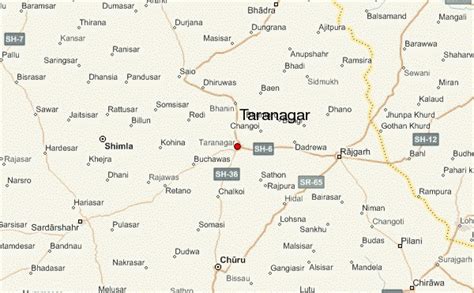
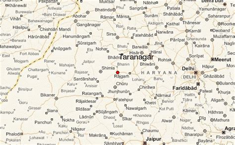
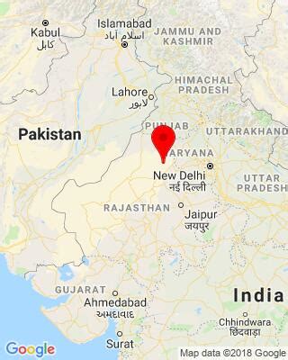
Taranagar is a city and a municipality in Churu district in the Indian state of Rajasthan, situated at 28° 41’N 75° 3’E, about 120 miles northeast of Bikaner. Taranagar was earlier known as Reni, named for the lady Rinkali who came here to live from Vishalnagar Koyalapatan, currently Foga in Sardarshar (Rajasthan). Reni was the headquarters of the nizamat and the tehsil of the same name in the state of Bikaner in Rajputana. The nizamat consisted of five eastern tehsils of Bhadra, Churu, Nohar, Rajgarh and Reni. In 1948, the town was renamed for King Tara Singh, who ruled it in the mid-18th century.