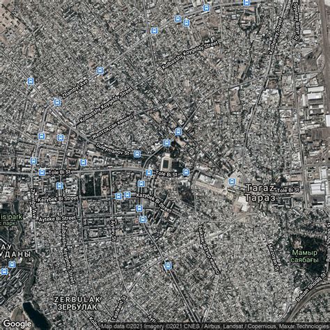
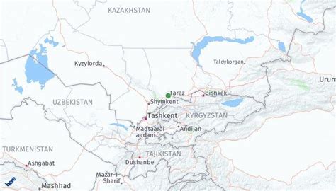
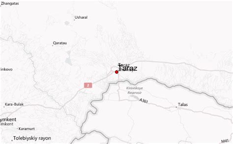
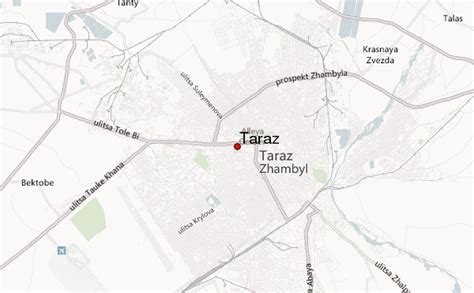
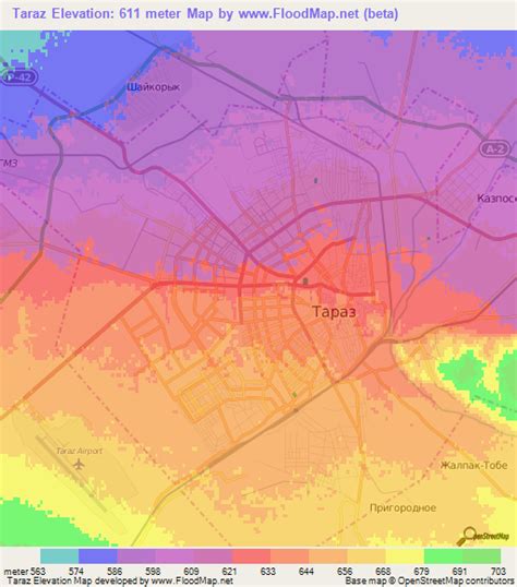
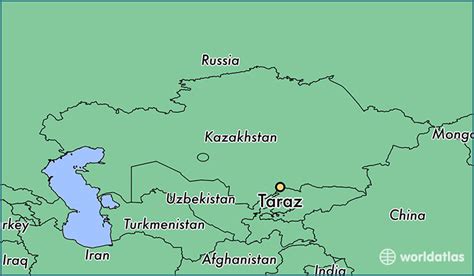
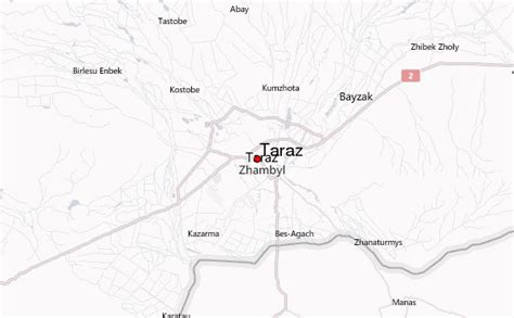
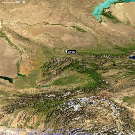
Location: Taraz 🌎
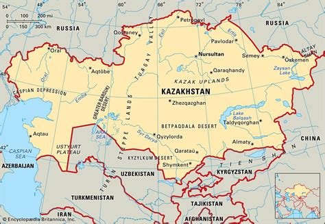
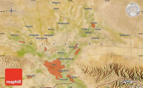
Location: Taraz, Kazakhstan
Administration Region:
Population: 357795
ISO2 Code:
ISO3 Code: KAZ
Location Type: First-level Admin Capital
Latitude: 42.9
Longitude: 71.3667
Taraz (Kazakh: Тараз, تاراز, romanized: Taraz ; known to Europeans as Talas) is a city and the administrative center of Jambyl Region in Kazakhstan, located on the Talas (Taraz) River in the south of the country near the border with Kyrgyzstan. It had a population of 330,100 as of the 1999 census, up 9% from 1989, making it one of the fastest-growing cities in the country, after Astana and Turkistan.
One of the oldest cities in Kazakhstan and in Transoxania, built and populated by the ancient Sogdians, Taraz celebrated its official 2,000th anniversary (recognized by UNESCO) in 2001, dating from a fortress built in the area by a Xiongnu Chanyu named Zhizhi, and was a site of the Battle of Zhizhi in 36 BCE. The city was first recorded under the name “Talas” in 568 CE by Menander Protector. The medieval city of Talas was a major trade centre along the Silk Road. Talas was later described by Buddhist monk and traveller Xuanzang, who passed Talas in 629 and later wrote: “Traveling westward from the Thousand Springs 140 or 150 li, we come to the city of Daluosi. The city is 8 or 9 li in diameter; and was settled by Hu (“foreign, barbarian, non-Chinese”) merchants from various nations. The products and the climate are about the same as Suyab.” The Talas alphabet, a variant of the Turkic “runiform” Orkhon script, is named for the town.
Talas secured a place in history by virtue of the Battle of Talas (751 CE), which was fought between forces of the Chinese Tang dynasty and those of the Arab Abbasid Caliphate. The battle took place somewhere along the Talas River in the Talas valley. One of its indirect outcomes was the introduction of paper to the West, via the Arab capture of Chinese paper makers.

Top Taraz HD Maps, Free Download 🗺️
Map
Maps
United States
United States
World Map
China
China
