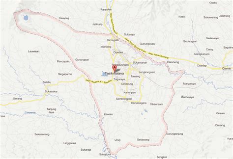
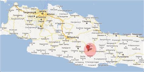
Location: Tasikmalaya 🌎
Location: Tasikmalaya, Indonesia
Administration Region: Jawa Barat
Population: 678027
ISO2 Code: Jawa Barat
ISO3 Code: IDN
Location Type:
Latitude: -7.3161
Longitude: 108.1975
Tasikmalaya is a landlocked city in West Java, Indonesia. The city is sometimes dubbed kota santri (city of religious learners) or “the City of a Thousand Pesantrens” for its abundance of Islamic boarding schools. Located around 120 kilometres (75 mi) southeast from the provincial capital of Bandung, Tasikmalaya is passed by Indonesian National Route 3.
The city is located in the mountainous Priangan region of Java at an elevation of 351 metres (1,151 feet).
The population of the city (excluding the Tasikmalaya Regency, which surrounds the city to the west, south and east) was 634,948 according to the 2010 census, and increased to 716,155 at the 2020 census; the official estimate as at mid 2021 was 723,921. Its built-up (or metro) area (made of Tasikmalaya City and 14 neighbouring districts spread over Tasikmalaya and Ciamis Regencies) was home to 1,339,891 inhabitants as at the 2010 census.
Top Tasikmalaya HD Maps, Free Download 🗺️
Map
Maps
United States
United States
World Map
China
China


