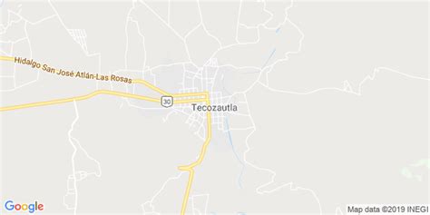
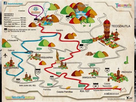
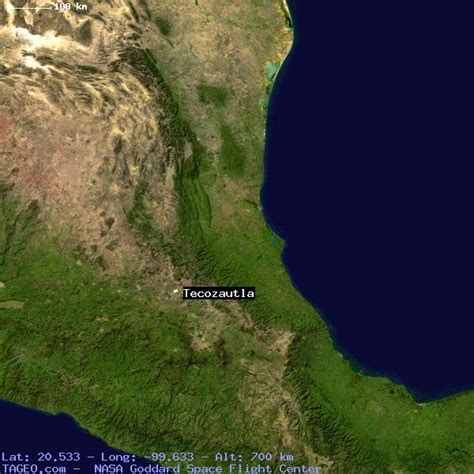
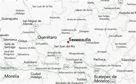
Location: Tecozautla 🌎
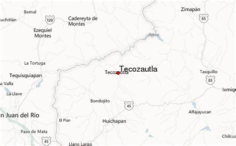
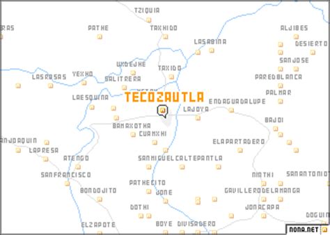
Location: Tecozautla, Mexico
Administration Region: Hidalgo
Population: 31609
ISO2 Code: Hidalgo
ISO3 Code: MEX
Location Type:
Latitude: 20.5333
Longitude: -99.6333
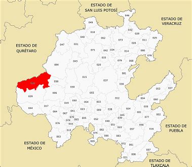
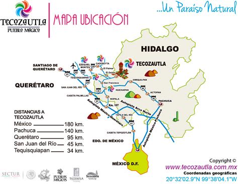
Tecozautla (Otomi: Masofo) is a town and one of the 84 municipalities of Hidalgo, in central-eastern Mexico. The municipality covers an area of 575.6 km². The name derives from the Nahuatl words “tetl”, meaning “stone”; “cozaqui”, meaning “yellow thing”; and “tla”, meaning “place of”; making the entire meaning of Tecozautla “place where yellow earth abounds”.As of 2005, the municipality had a total population of 31,609. In 2017 there were 2,415 inhabitants who spoke an indigenous language, primarily Mezquital Otomi. The town was declared a “Pueblo Mágico” in 2015.
Top Tecozautla HD Maps, Free Download 🗺️
Map
Maps
United States
United States
World Map
China
China
