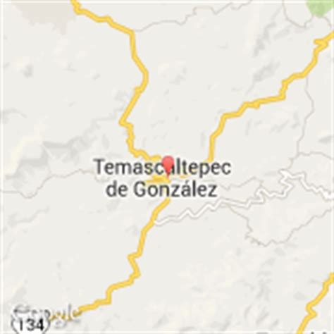
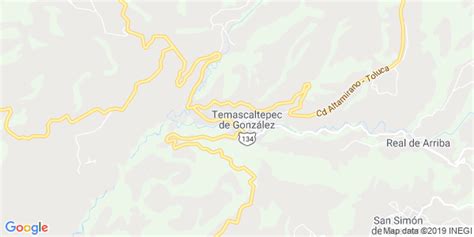
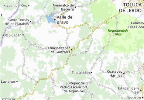
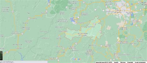
Location: Temascaltepec de González 🌎
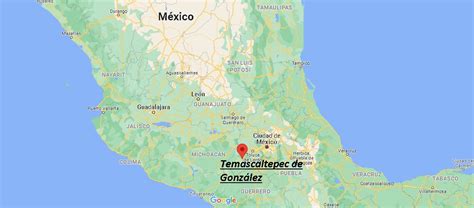
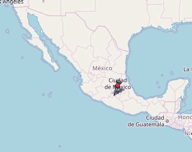
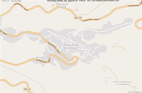
Location: Temascaltepec de González, Mexico
Administration Region: México
Population: 30336
ISO2 Code: México
ISO3 Code: MEX
Location Type: Lower-level Admin Capital
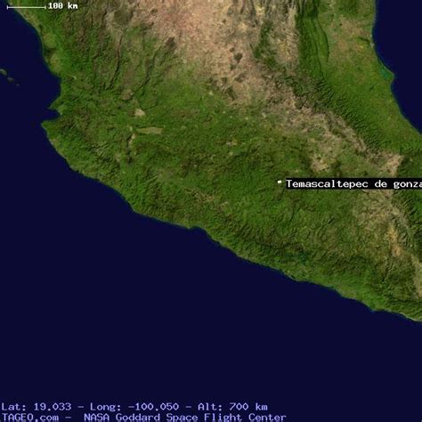
Latitude: 19.0433
Longitude: -100.0414
Temascaltepec de González (formally: Temascaltepec de González, for Plutarco González) is a city and seat of the municipality of Temascaltepec located in south of the State of Mexico in Mexico. It is 66 km (41 mi) southeast of Toluca and 140 km (87 mi), from Mexico City. Temascaltepec comes from the Náhuatl “temazcalli,” which means “steam bath,” and “tepetl,” which means “hill.” The Matlatzincas named the area “Cocalostoc,” which means ‘cave of crows’.
Top Temascaltepec de González HD Maps, Free Download 🗺️
Map
Maps
United States
United States
World Map
China
China
