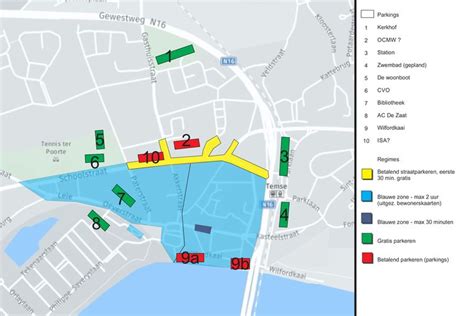
Location: Temse 🌎
Location: Temse, Belgium
Administration Region: Flanders
Population: 29528
ISO2 Code: Flanders
ISO3 Code: BEL
Location Type:
Latitude: 51.1167
Longitude: 4.2
Temse (Dutch pronunciation: [ˈtɛmsə] ; French: Tamise [tamiz]) is a municipality in East Flanders, Belgium.
The name Temse is derived from the Gallo-Roman/Gaul Tamisiacum or Tamasiacum. This is also reflected in the French name for the town, Tamise. The main sights include the Church of Our Lady, whose steeple was designed by the famous sculptor Adriaan Nijs, who died in Temse, and who also sculpted the wooden pulpit. Inside the church the relics of Amalberga of Temse are venerated. Close by stands the old “Gemeentehuis” (town hall), built in Flemish Eclectic style, housing a carillon in its main tower.
The municipality, which lies on the left side of the River Scheldt, comprises the towns of Elversele, Steendorp, Temse and Tielrode. On 1 January 2018, Temse had a population of 29,528. The total area is 39.92 km² which gives a population density of 740 inhabitants per km².

Top Temse HD Maps, Free Download 🗺️
Map
Maps
United States
United States
World Map
China
China
