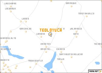
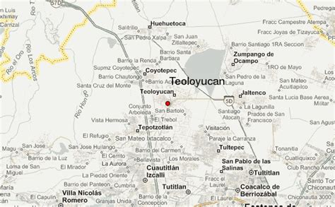
Location: Teoloyucan 🌎
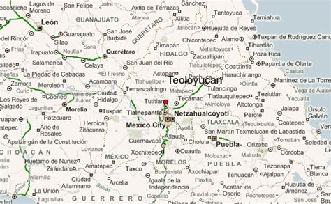
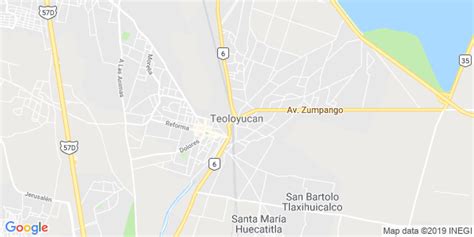
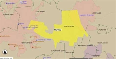
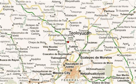
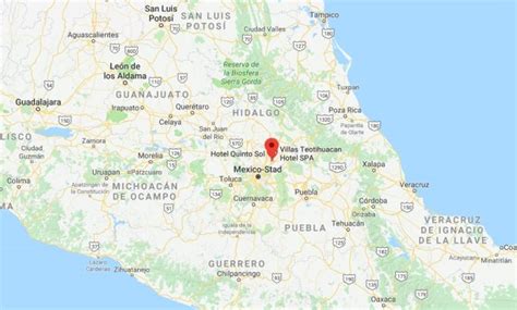
Location: Teoloyucan, Mexico
Administration Region: México
Population: 41333
ISO2 Code: México
ISO3 Code: MEX
Location Type: Lower-level Admin Capital
Latitude: 19.7442
Longitude: -99.1811
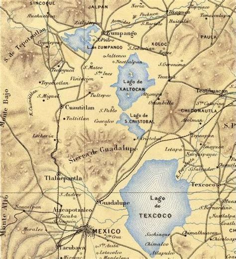
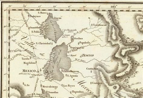
Teoloyucan is a municipality located in the State of Mexico, Mexico. It’s municipal seat and second largest city is the city of Teoloyucan. It lies 45 km (28 mi) north of the Federal District (Distrito Federal) in the northeastern part of the state of México, and is part of the Greater Mexico City urban area. During the colonial period the area’s name had a number of variations, including Teohuilloyocan, Teohuilloyucan, Theoloyucan, Teoloyucan Coaquileque and Tehuilloyocan. The name comes from Nahuatl meaning place of glass or place of crystal rock.
Top Teoloyucan HD Maps, Free Download 🗺️
Map
Maps
United States
United States
World Map
China
China
