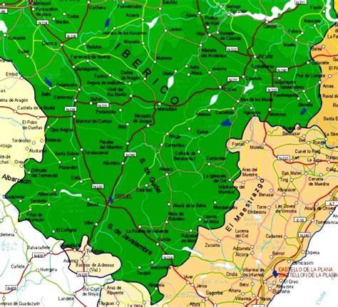
Location: Teruel 🌎
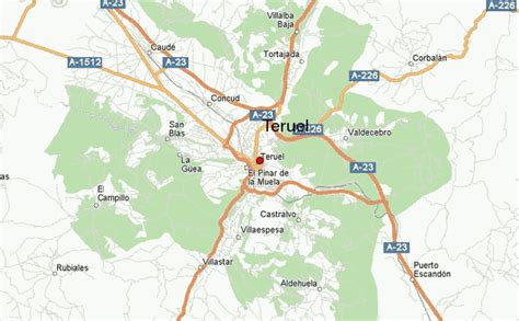
Location: Teruel, Spain
Administration Region: Aragon
Population: 35691
ISO2 Code: Aragon
ISO3 Code: ESP
Location Type: Lower-level Admin Capital
Latitude: 40.3436
Longitude: -1.1072
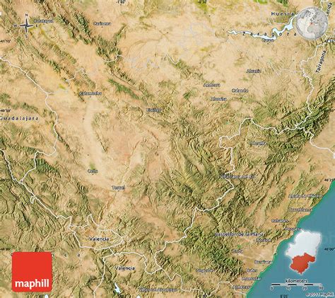
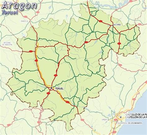
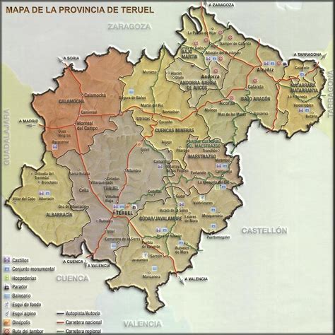
Teruel (Spanish pronunciation: [teˈɾwel]) is a city in Aragon, located in eastern Spain, and is also the capital of Teruel Province. It has a population of 35,675 in 2014 making it the least populated provincial capital in the country. It is noted for its harsh climate, with a wide daily variation on temperatures and its renowned jamón serrano (cured ham), its pottery, its surrounding archaeological sites, rock outcrops containing some of the oldest dinosaur remains of the Iberian Peninsula, and its famous events: La Vaquilla del Ángel during the weekend (Friday to Monday) closest to 10 July and “Bodas de Isabel de Segura” around the third weekend of February.
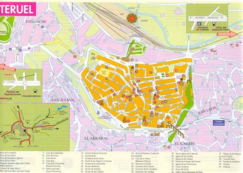
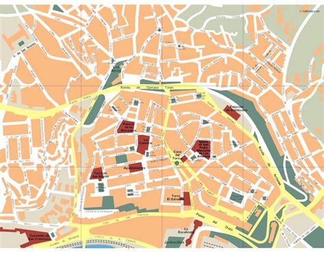
Teruel is regarded as the “town of mudéjar” (Moorish-influenced architecture) due to numerous buildings designed in this style. All of them are comprised in the Mudéjar Architecture of Aragon which is a World Heritage Site by the UNESCO.
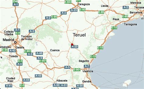
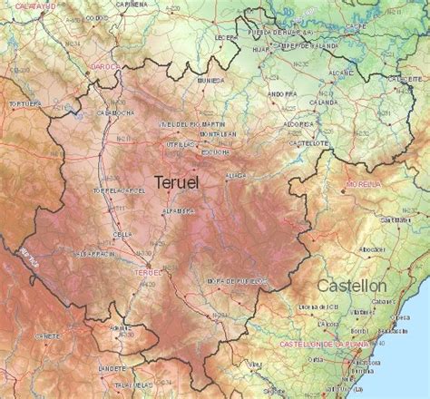
Teruel’s remote and mountainous location 915 metres (3,002 feet) above sea level and its low population has led to relative isolation within Spain. A campaign group with the slogan Teruel existe (“Teruel exists”) was founded in 1999 to press for greater recognition and investment in the town and the province. Due in part to the campaign, transport connections to Teruel were improved with the construction of a motorway between Zaragoza and Sagunto. However, Teruel remains the only provincial capital in peninsular Spain without a direct road or railway link to the national capital, Madrid. A running joke in the Spanish online satirical publication El Mundo Today is that Teruel does not exist.
Top Teruel HD Maps, Free Download 🗺️
Map
Maps
United States
United States
World Map
China
China
