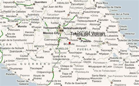
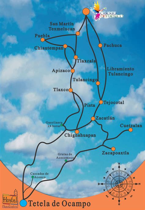
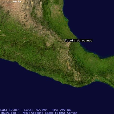
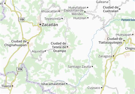
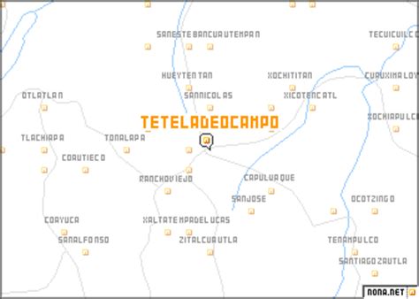
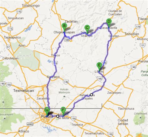
Location: Tetela de Ocampo 🌎
Location: Tetela de Ocampo, Mexico Administration Region: Puebla Population: 28139 ISO2 Code: Puebla ISO3 Code: MEX Location Type: Lower-level Admin Capital Latitude: 19.8167 Longitude: -97.8
Tetela de Ocampo is a town in Tetela de Ocampo Municipality in the Sierra Norte region of the Mexican state of Puebla. “Tetela” is a name of Nahuatl origin, containing the elements tetl (hill) and tla (many): it thus means “place of many hills”. Nahuas still inhabit the area.The BUAP has a Regional Section there.

Top Tetela de Ocampo HD Maps, Free Download 🗺️
Map
Maps
United States
United States
World Map
China
China