Location: Tétouan 🌎
Location: Tétouan, Morocco
Administration Region: Tanger-Tétouan-Al Hoceïma
Population: 380787
ISO2 Code: Tanger-Tétouan-Al Hoceïma
ISO3 Code: MAR
Location Type:
Latitude: 35.5667
Longitude: -5.3667
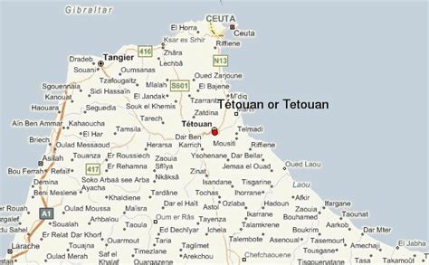
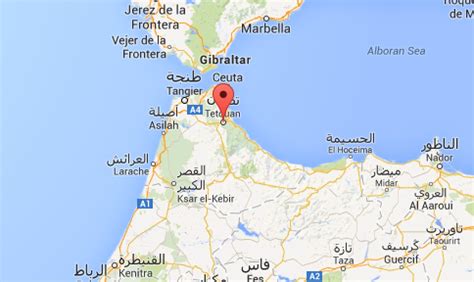
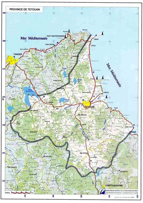
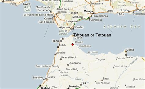
Tétouan (Arabic: تطوان, romanized: tiṭwān, Berber languages: ⵜⵉⵟⵟⴰⵡⴰⵏ, romanized: tiṭṭawan; Spanish: Tetuán), also known as Tettawen, is a city in northern Morocco. It lies along the Martil Valley and is one of the two major ports of Morocco on the Mediterranean Sea, a few miles south of the Strait of Gibraltar, and about 60 kilometres (37 mi) E.S.E. of Tangier. In the 2014 Moroccan census, the city recorded a population of 380,787 inhabitants. It is part of the administrative division Tanger-Tetouan-Al Hoceima.
The city has witnessed many development cycles spanning over more than 2,000 years. The first settlements, discovered a few miles outside of the modern city limits, belonged to Mauretanian Berbers and date back to the 3rd century BC. A century later, Phoenicians traded there and after them the site—known now as the ancient town of Tamuda—became a Roman colony under Emperor Augustus.In the late 13th century, the Berber Marinids started by building a casbah and mosque in what is now the old city. Soon after in 1305, the scale of the settlement was expanded by sultan Abu Thabit Amir, who fortified the place. Around the early 15th century, the Castilians destroyed the settlement in retaliation for piracy.
The modern history of the city starts around the late 15th century. It was re-built and fortified by Ali al-Mandri, who emigrated from the Nasrid city of Granada in the decade before it fell in the hands of the Catholic Monarchs Ferdinand II of Aragon and Isabella I of Castile as the War of Granada was completed in 1492. Thousands of Muslims and Jews from Andalusia settled in the north of Morocco and on the ruins of the city of Tétouan. The city went through a prosperous period of reconstruction and growth in various fields and became a center for the reception of Andalusian civilization. It is often linked to Granada and is nicknamed “Granada’s Daughter”; some families still keep keys belonging to their old homes in Granada. It is also nicknamed “Pequeña Jerusalén” (Little Jerusalem) by Sephardi Jews. The vast majority of the population are Muslims and small Christian and Jewish communities also exist, although their presence has declined sharply in recent decades.
In 1913, Tétouan became the capital of the Spanish protectorate of Morocco, which was governed by the Khalifa (Moroccan prince serving as Viceroy for the Sultan), and the Spanish “Alto Comisario” accredited to him. It remained the capital until 1956, when Morocco regained its full independence.
Tétouan is a renowned multicultural center. The medina of Tétouan is a UNESCO World Heritage Site since 1997. It has also been part of the UNESCO Creative Cities Network in the area of Crafts and Folk Art since 2017.

Top Tétouan HD Maps, Free Download 🗺️
Map
Maps
United States
United States
World Map
China
China


