Location: Thabazimbi 🌎

Location: Thabazimbi, South Africa Administration Region: Limpopo Population: 28847 ISO2 Code: Limpopo ISO3 Code: ZAF Location Type: Latitude: -24.6 Longitude: 27.4
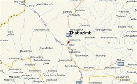
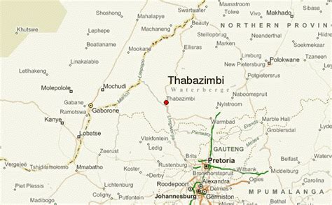
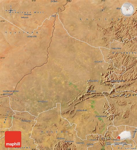
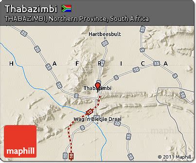
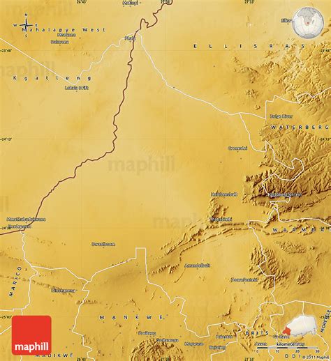
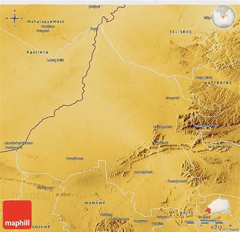
Thabazimbi is an iron mining town in the Limpopo province of South Africa. The town is at the feet of the Ysterberg and is surrounded by the Witfonteinrand and Boshofberg with the majestic Kransberg in the background. The name Thabazimbi means mountain of iron because of the large iron ore reef that was discovered in 1919 by J. H. Williams. The mine boasts one of the largest mining shafts in Africa. More than 2 million tons of ore are mined every year and hauled by train to Mittal’s iron and steel works. The railway line from Rustenburg reached the area in the 1930s and full scale iron and steel production began. The town was proclaimed in 1953. Kumba Iron Ore, previously Kumba Resources, is now the principal operator of the iron ore mine. 
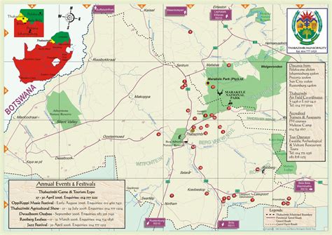
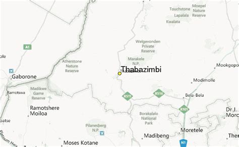
The Marakele National Park about 20 km north-east of the town and in the heart of Waterberg Mountains is characterised by contrasting mountain landscapes, hills and valleys, as well a variety of wildlife. Marakele National Park is also the home of some of the Tuli Elephants that were caught up in controversy in 1999 involving animal cruelty in South Africa. In the post-apartheid era, the town made headlines in 2003 as the site of Kamp Staaldraad, the Springboks’ infamous training camp prior to the Rugby World Cup. The excesses of Kamp Staaldraad helped lead to an almost complete housecleaning of the upper administrative levels of South African rugby union.
Thabazimbi Download Free HD Maps, Regions and Roads (Images & PDFs)

Top Thabazimbi HD Maps, Free Download 🗺️

Map
Maps
United States
United States
World Map
China
China
Thabazimbi Mine, Of Mokopane, Guide, Thabazimbi, South Africa
600 x 371px
South Africa, Thabazimbi
Thabazimbi Location Guide, Thabazimbi, South Africa, Thabazimbi Town, Thabazimbi Mine
600 x 371px
South Africa, Thabazimbi
Satellite Map Of Thabazimbi, Thabazimbi, South Africa, Of Klerksdorp, Thabazimbi Accommodation
850 x 929px
South Africa, Thabazimbi
About Thabazimbi | Thabazimbi Municipality, Thabazimbi, South Africa, Thabazimbi Golf Club, Limpopo Province
1652 x 1168px
South Africa, Thabazimbi
Shaleburn South Africa, Rarotonga, Shaded Relief, Thabazimbi, South Africa
403 x 335px
South Africa, Thabazimbi
Shaded Relief 3D Map Of Thabazimbi, Satellite Outside, Thabazimbi, South Africa, Rarotonga, Thabazimbi Municipality
850 x 822px
South Africa, Thabazimbi
Thabazimbi Municipality, Thabazimbi Golf Club, Thabazimbi, Thabazimbi, South Africa
850 x 482px
South Africa, Thabazimbi
Printable Weather South Africa, Of Klerksdorp, Station Record, Thabazimbi, South Africa
600 x 371px
South Africa, Thabazimbi
Physical Map Of Thabazimbi, Thabazimbi, South Africa, Where Is Thabazimbi Located, Printable Weather South Africa
850 x 929px
South Africa, Thabazimbi
Physical 3D Map Of Thabazimbi, Thabazimbi, South Africa, Of Mokopane, Shaleburn South Africa
850 x 822px
South Africa, Thabazimbi