Location: Thāna Bhawan 🌎
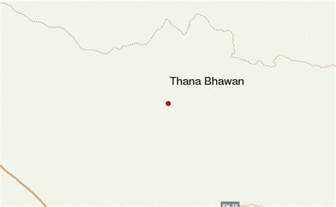
Location: Thāna Bhawan, India
Administration Region: Uttar Pradesh
Population: 36669
ISO2 Code: Uttar Pradesh
ISO3 Code: IND
Location Type:
Latitude: 29.5833
Longitude: 77.4167
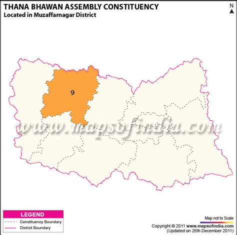
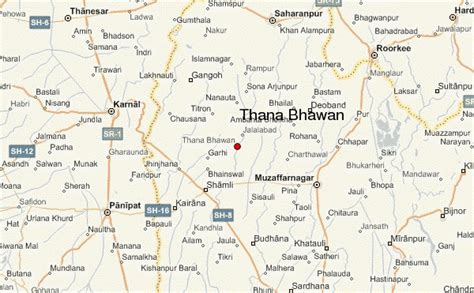
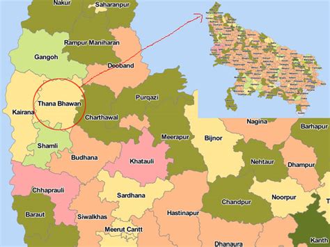
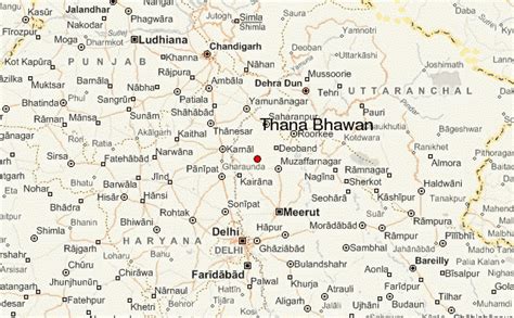
Thana Bhawan is a small town in Shamli district (formerly part of Muzaffarnagar district) in the Indian state of Uttar Pradesh. District Shamli is a newly constructed district. Before becoming a new district, it came under district Muzaffarnagar and was well known tehsil of it. It was known as Prabuddhnagar first time, when this district came into focus. It is situated on Delhi–Shamli national highway, it is 100 km away from Delhi, 65 km from Saharanpur, 38 km from Muzaffarnagar and only 59.6 km away from Panipat (Haryana). Border of this district is connected with district Muzaffarnagar in east and with Haryana in west and with Saharanpur in north and with district Baghpat it is connected in south. It is said that the name Thana Bhawan emerged from the name of Devi Bhawan Temple.
In the 18th century it was home to mostly Hindu and Muslims families.
It is situated on the Delhi–Saharanpur highway NH 709B around 120 kilometres (75 mi) from Delhi.
Top Thāna Bhawan HD Maps, Free Download 🗺️
Map
Maps
United States
United States
World Map
China
China
