Location: The Gambia 🌎
Country: The Gambia
ISO2 Code: GM
ISO3 Code: GMB
Location Type: Country
Latitude: 13.4667
Longitude: -16.6
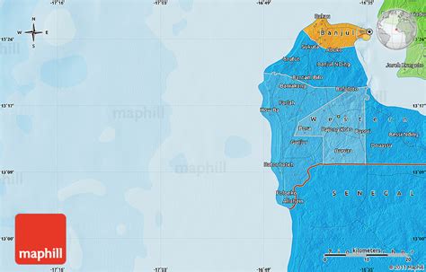
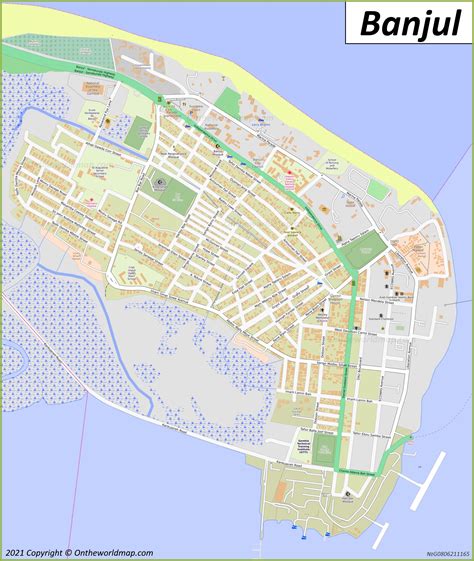
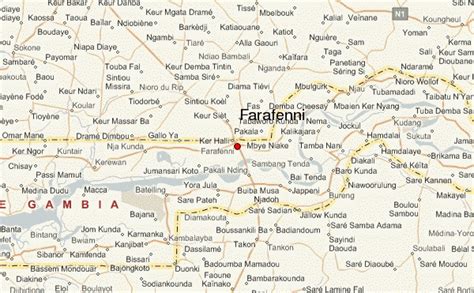
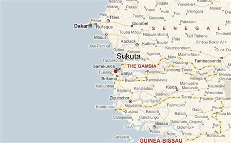
The Gambia, officially the Republic of The Gambia, is a country in West Africa. It is the smallest country within mainland Africa and is surrounded by Senegal, except for its western coast on the Atlantic Ocean. The Gambia is situated on both sides of the lower reaches of the Gambia River, the nation’s namesake, which flows through the centre of the Gambia and empties into the Atlantic Ocean, and elucidates the long shape of the country. It has an area of 11,300 square kilometres (4,400 sq mi) with a population of 1,857,181 as of the April 2013 census. Banjul is the Gambian capital and the country’s largest metropolitan area, while the largest cities are Serekunda and Brikama.The Portuguese in 1455 entered the Gambian region, the first Europeans to do so, but never established important trade there. In 1765, the Gambia was made a part of the British Empire by establishment of the Gambia. In 1965, the Gambia gained independence under the leadership of Dawda Jawara, who ruled until Yahya Jammeh seized power in a bloodless 1994 coup. Adama Barrow became the Gambia’s third president in January 2017, after defeating Jammeh in the December 2016 elections. Jammeh initially accepted the results, before refusing to leave office, triggering a constitutional crisis and military intervention by the Economic Community of West African States that resulted in his removal two days after his term was initially scheduled to end.The Gambia has been a member of the Economic Community of West African States since its conception in 1975 and is a member of the Commonwealth, with English being the country’s sole official language, both legacies of its British colonial past. The Gambia’s economy is dominated by farming, fishing, and especially tourism. In 2015, 48.6% of the population lived in poverty. In rural areas, poverty was even more widespread, at almost 70%.

Top The Gambia HD Maps, Free Download 🗺️
Map
Maps
United States
United States
World Map
China
China

