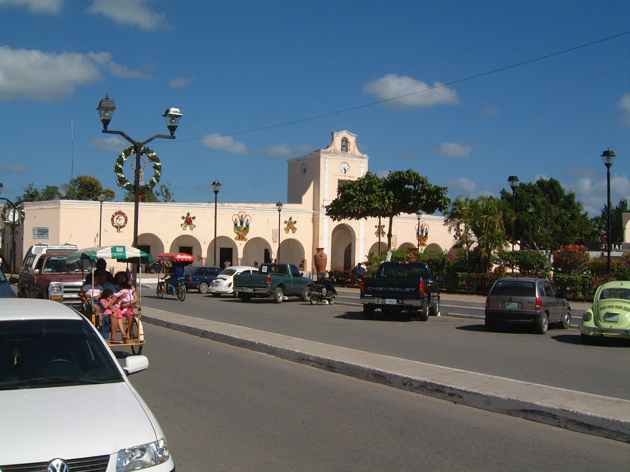
Location: Ticul 🌎
Location: Ticul, Mexico
Administration Region: Yucatán
Population: 32796
ISO2 Code: Yucatán
ISO3 Code: MEX
Location Type:
Latitude: 20.3953
Longitude: -89.5339
Ticul is a city and the municipal seat of the Ticul Municipality, Yucatán in Mexico. It is located some 100 km south of the state capital city of Mérida. In 2000 Ticul had a population of about 28,000 people. The majority are ethnically Maya.
Ticul was a town of the Pre-Columbian Maya civilization. It has been continuously occupied since at least the 7th century BC. After the Spanish conquest of Yucatán Ticul was reestablished as a Spanish colonial town in 1549. The Republic of Yucatán granted Ticul the status of a city in 1847.
The city is nicknamed La Perla del Sur (“The Pearl of the South”), as it is in the southern part of Yucatán state.
Ticul has long been known for the red pottery produced there. Over half the population still speaks the Maya language as their first tongue, although Spanish is also understood. The pork dish poc-chuc is a well known local specialty.

Top Ticul HD Maps, Free Download 🗺️
Map
Maps
United States
United States
World Map
China
China
