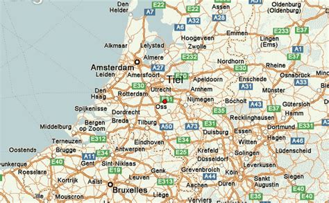
Location: Tiel 🌎
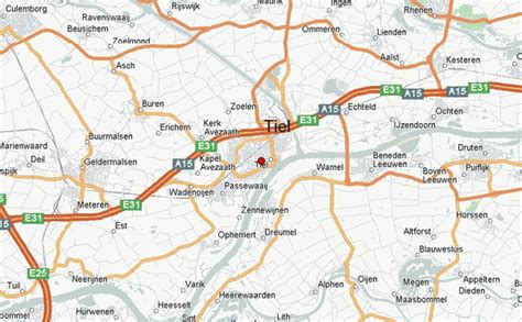
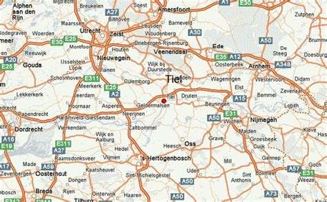
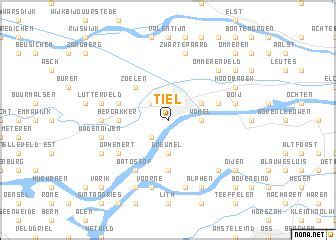
Location: Tiel, Netherlands Administration Region: Gelderland Population: 41978 ISO2 Code: Gelderland ISO3 Code: NLD Location Type: Lower-level Admin Capital Latitude: 51.8833 Longitude: 5.4333
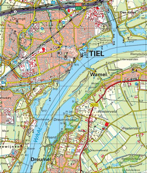
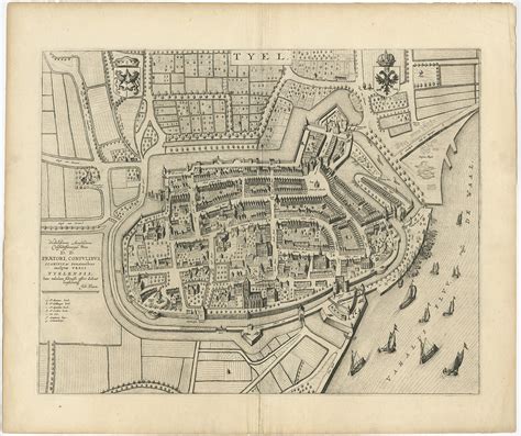
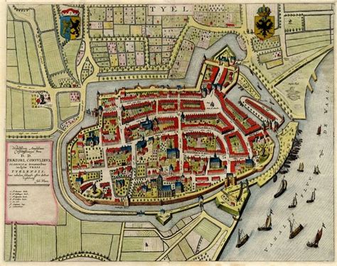
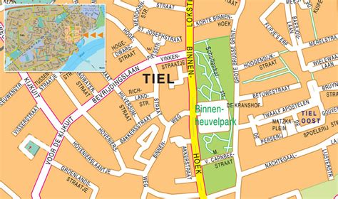
Tiel (Dutch pronunciation: [til] ) is a municipality and a town in the middle of the Netherlands. The town is enclosed by the Waal river and the Linge river to the South and the North, and the Amsterdam-Rhine Canal to the East. Tiel comprises the population centres Kapel-Avezaath, Tiel and Wadenoijen. The city was founded in the 5th century CE.

Top Tiel HD Maps, Free Download 🗺️
Map
Maps
United States
United States
World Map
China
China