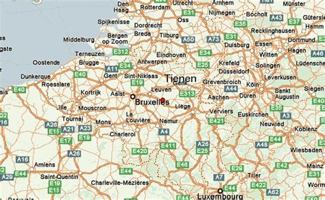
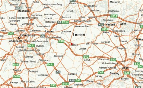
Location: Tienen 🌎
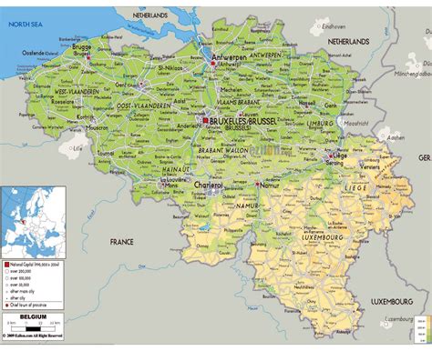
Location: Tienen, Belgium
Administration Region: Flanders
Population: 34675
ISO2 Code: Flanders
ISO3 Code: BEL
Location Type:
Latitude: 50.8
Longitude: 4.9333
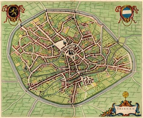
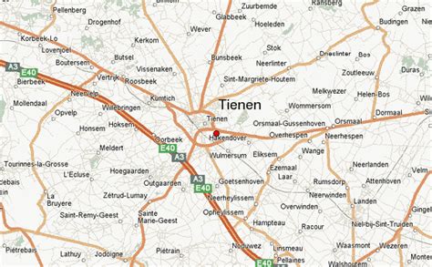
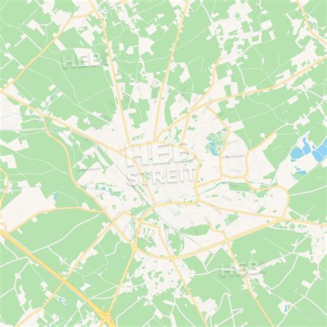
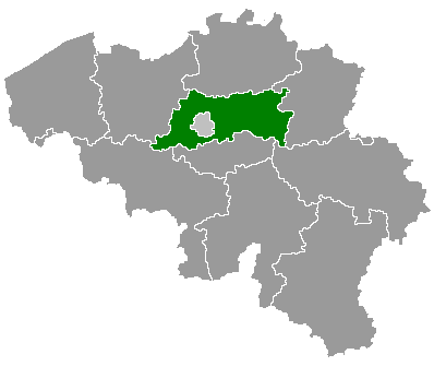
Tienen (Dutch pronunciation: [ˈtinə(n)] ; French: Tirlemont [tiʁləmɔ̃]) is a city and municipality in the province of Flemish Brabant, in Flanders, Belgium. The municipality comprises Tienen itself and the towns of Bost, Goetsenhoven, Hakendover, Kumtich, Oorbeek, Oplinter, Sint-Margriete-Houtem and Vissenaken.
On 1 January 2017, Tienen had a total population of 34,365. The total area is 71.77 km2 (27.71 sq mi) which gives a population density of 444 inhabitants per square kilometre (1,150/sq mi).
Top Tienen HD Maps, Free Download 🗺️
Map
Maps
United States
United States
World Map
China
China
