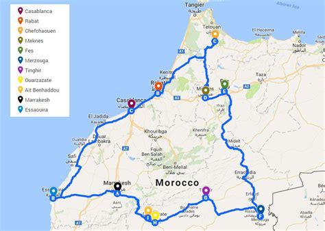
Location: Tineghir 🌎
Location: Tineghir, Morocco
Administration Region: Drâa-Tafilalet
Population: 42044
ISO2 Code: Drâa-Tafilalet
ISO3 Code: MAR
Location Type:
Latitude: 31.5147
Longitude: -5.5328
Tinghir (Arabic: تنغير, Tamazight: ⵜⵉⵏⵖⵉⵔ), sometimes known as Tinerhir, is a city in the region of Drâa-Tafilalet, south of the High Atlas and north of the Little Atlas in central Morocco. It is the capital of Tinghir Province.
Its name originally referred to the foothills of the Atlas Mountains, but its area has expanded to encompass surrounding villages and refers to the entire oasis.
The city of Tinghir (jamaat tinghir) has a population of 42,044 and the province has 322,412 inhabitants, according to the 2014 census. The predominant ethnic group is Amazighs, and the city is at the center of one of the most attractive oases in southern Morocco.
Lush palm trees cover about 30 miles (48 km) on 500-to-1,500-metre (550 to 1,640 yd)-wide tracts along the Wadi Todgha. After the Todra Gorge, Wadi Todgha has a difficult passage along the southern slopes of the Atlas Mountains (Tizgi); it then flows across the plain, meandering slightly over 20 kilometres (12 mi) to Ferkla.
The palm oasis, dense and widespread, is irrigated by a network of pipes and irrigation canals. Occasional heavy rains are absorbed in a few days.

Top Tineghir HD Maps, Free Download 🗺️
Map
Maps
United States
United States
World Map
China
China