Location: Tiruppūr 🌎
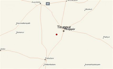
Location: Tiruppūr, India
Administration Region: Tamil Nādu
Population: 877778
ISO2 Code: Tamil Nādu
ISO3 Code: IND
Location Type:
Latitude: 11.1085
Longitude: 77.3411
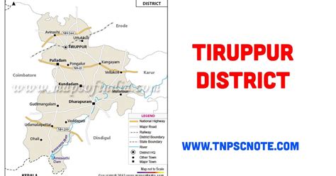
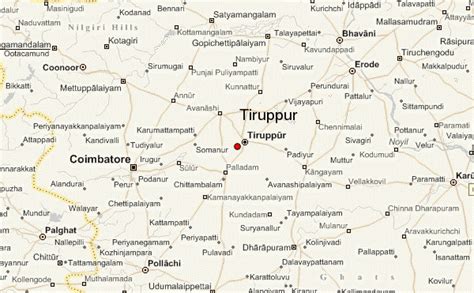
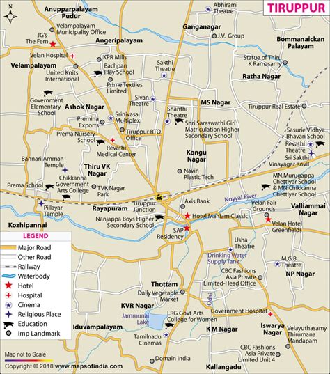
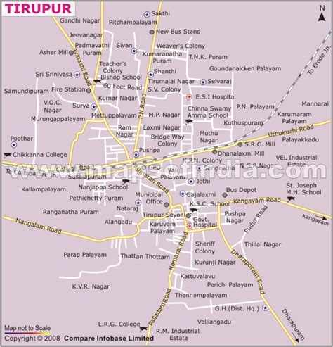
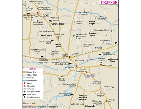
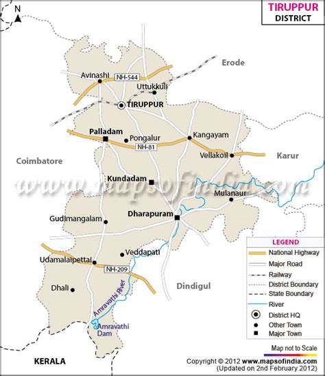
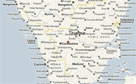
Tiruppur or Tirupur ([t̪ɪɾɨppuːr] Tirupur.ogg ) is a city in the Indian state of Tamil Nadu. Tiruppur is the administrative headquarters of Tiruppur district and the Seventh largest city as well as an urban agglomeration in Tamil Nadu. Located on the banks of Noyyal River, it has been ruled at different times, by the Early Pandyas, Medieval Cholas, Later Cholas, Mysore Kingdom and the British. It is about 450 kilometres (280 mi) southwest of the state capital Chennai about 50 kilometres (31 mi) east of Coimbatore 50 kilometres (31 mi) south of Erode and 50 kilometres (31 mi) north of Dharapuram.
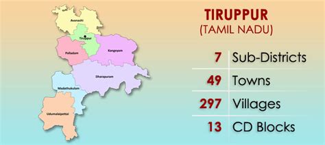
Tiruppur is administered by municipal corporation which was established in 2008 and the total area of the corporation is 159.6 km2 divided into 60 wards. The total population of the city as per the 2011 census is 877,778. Tiruppur is a part of the Tiruppur constituency that elects its member of parliament.
Tiruppur is a major textile and knit wear hub contributing to 90% of total cotton knit wear exports from India. The textile industry provides employment to over six lakh people and contributed to exports worth ₹200 billion (US$2.5 billion) in 2014–15.

Top Tiruppūr HD Maps, Free Download 🗺️
Map
Maps
United States
United States
World Map
China
China
