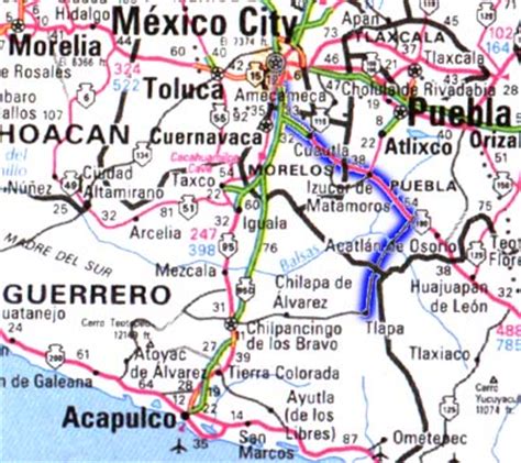
Location: Tlapa de Comonfort 🌎
Location: Tlapa de Comonfort, Mexico
Administration Region: Guerrero
Population: 37975
ISO2 Code: Guerrero
ISO3 Code: MEX
Location Type: Lower-level Admin Capital
Latitude: 17.5461
Longitude: -98.5764
Tlapa de Comonfort, often shortened to Tlapa and known as Tinda’i in Mixtec, is a city in the mountain region of the Mexican state of Guerrero. It also serves as the municipal seat for the surrounding municipality of the same name.
“Tlapa” is a Nahuatl exonym from tlappan or tluhpan, meaning “place of washing”. The “de Comonfort” part of the name is in homage to President Ignacio Comonfort.
Top Tlapa de Comonfort HD Maps, Free Download 🗺️
Map
Maps
United States
United States
World Map
China
China
