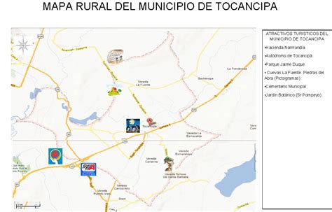
Tocancipá (Spanish pronunciation: [tokansiˈpa]) is a municipality and town of Colombia in the Central Savanna Province, part of the department of Cundinamarca. Tocancipá is situated in the northern part of the Bogotá savanna, part of the Altiplano Cundiboyacense in the Eastern Ranges of the Colombian Andes with the urban centre at an altitude of 2,605 metres (8,547 ft). The capital Bogotá, which metropolitan area includes Tocancipá, is 42 kilometres (26 mi) to the south. Tocancipá borders Gachancipá and Nemocón in the north, Zipaquirá in the west, Guasca and Guatavita in the east and Guasca and Sopó in the south.