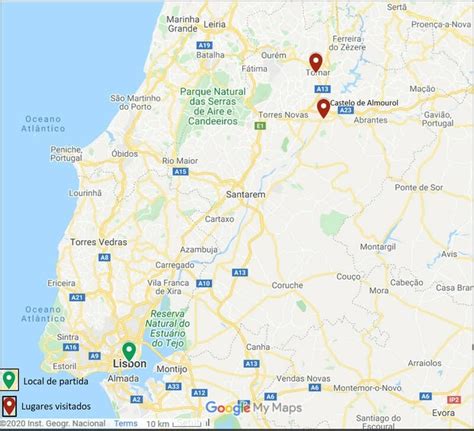
Location: Tomar 🌎
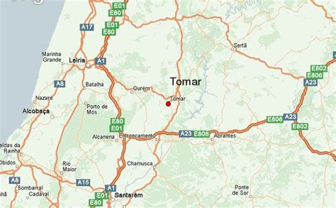
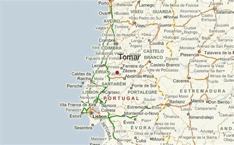
Location: Tomar, Portugal
Administration Region: Santarém
Population: 40677
ISO2 Code: Santarém
ISO3 Code: PRT
Location Type: Lower-level Admin Capital
Latitude: 39.6
Longitude: -8.4167
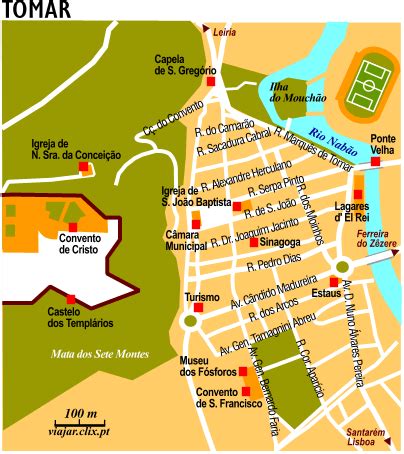
Tomar (Portuguese pronunciation: [tuˈmaɾ] ), also known in English as Thomar (the ancient name of Tomar), is a city and a municipality in the Santarém district of Portugal. The town proper has a population of about 20,000. The municipality population in 2011 was 40,677, in an area of 351.20 km2 (135.60 sq mi).The town of Tomar was created inside the walls of the Convento de Cristo, constructed under the orders of Gualdim de Pais, the fourth Grand Master of the Knights Templar of Portugal in the late 12th century.
Tomar was the last Templar town to be commissioned for construction and one of Portugal’s historical jewels. The town was especially important in the 15th century when it was a center of Portuguese overseas expansion under Henry the Navigator, the Grand Master of the Order of Christ, successor organization to the Knights Templar in Portugal.

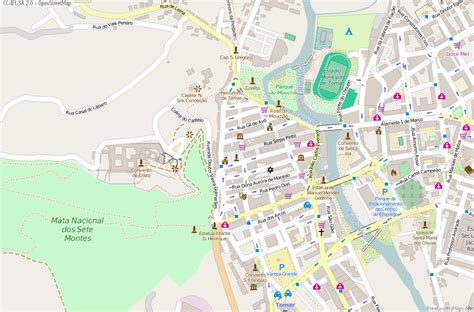
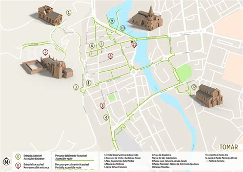
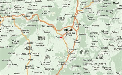
Top Tomar HD Maps, Free Download 🗺️
Map
Maps
United States
United States
World Map
China
China
