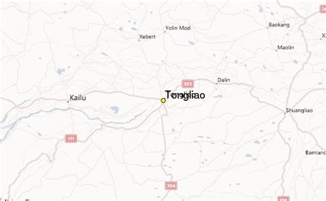
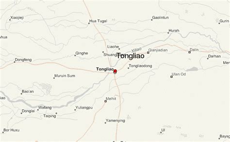
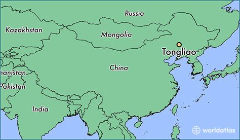
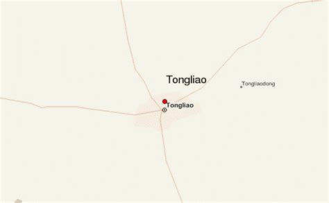
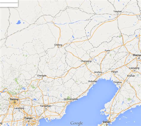
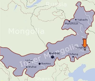
Location: Tongliao 🌎
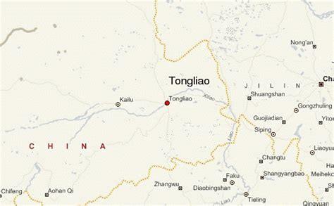
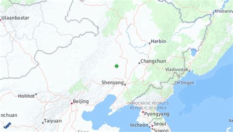
Location: Tongliao, China
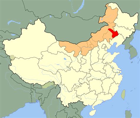
Administration Region: Inner Mongolia
Population: 3139153
ISO2 Code: Inner Mongolia
ISO3 Code: CHN
Location Type: Lower-level Admin Capital
Latitude: 43.654
Longitude: 122.243
Tongliao (Chinese: 通辽市; Mongolian: ᠲᠦᠩᠯᠢᠶᠣᠤ ᠬᠣᠲᠠ Tüŋliyou qota, Mongolian Cyrillic: Байшинт хот) is a prefecture-level city in eastern Inner Mongolia, People’s Republic of China. The area is 59,535 square kilometres (22,987 sq mi) and as of the 2020 census, its population was 2,873,168 (3,139,153 in 2010). However, the city proper made of Horqin district, had 921,808 inhabitants. The city was the administrative centre of the defunct Jirem League (哲里木盟; ᠵᠢᠷᠢᠮ ᠠᠶᠢᠮᠠᠭ Jirim ayimaɣ).
The original Mongolian name for Tongliao city proper (i.e. Horqin District) is Bayisingtu (Chinese: 白音泰赉; pinyin: Báiyīntàilài; lit. ‘having buildings’), while the original name of the prefecture-level city is Jirem. The Mongolian dialect spoken in this area is Khorchin Mongolian.

Top Tongliao HD Maps, Free Download 🗺️
Map
Maps
United States
United States
World Map
China
China
