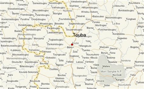
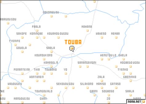
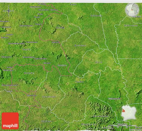
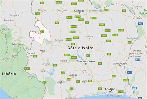
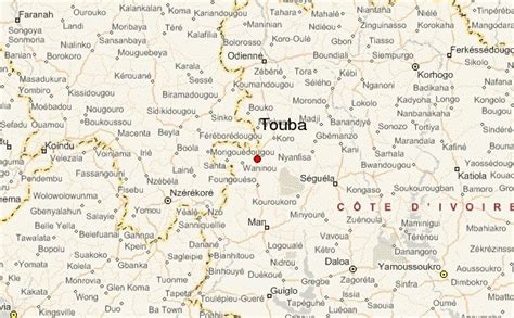
Location: Touba 🌎
Location: Touba, Côte d'Ivoire
Administration Region: Woroba
Population: 31844
ISO2 Code: Woroba
ISO3 Code: CIV
Location Type: Lower-level Admin Capital
Latitude: 8
Longitude: -5
Ivory Coast, also known as Côte d’Ivoire, officially the Republic of Côte d’Ivoire, is a country on the southern coast of West Africa. Its capital is Yamoussoukro, in the centre of the country, while its largest city and economic centre is the port city of Abidjan. It borders Guinea to the northwest, Liberia to the west, Mali to the northwest, Burkina Faso to the northeast, Ghana to the east, and the Gulf of Guinea (Atlantic Ocean) to the south. Its official language is French, and indigenous languages are also widely used, including Bété, Baoulé, Dioula, Dan, Anyin, and Cebaara Senufo. In total, there are around 78 different languages spoken in Ivory Coast. The country has a religiously diverse population, including numerous followers of Christianity, Islam and indigenous faiths such as Animism.Before its colonization by Europeans, Ivory Coast was home to several states, including Gyaaman, the Kong Empire, and Baoulé. The area became a protectorate of France in 1843 and was consolidated as a French colony in 1893 amid the European Scramble for Africa. It achieved independence in 1960, led by Félix Houphouët-Boigny, who ruled the country until 1993. Relatively stable by regional standards, Ivory Coast established close political-economic ties with its West African neighbours while maintaining close relations with the West, especially France. Its stability was diminished by a coup d’état in 1999, then two civil wars—first between 2002 and 2007 and again during 2010–2011. It adopted a new constitution in 2016.Ivory Coast is a republic with strong executive power vested in its president. Through the production of coffee and cocoa, it was an economic powerhouse in West Africa during the 1960s and 1970s, then experienced an economic crisis in the 1980s, contributing to a period of political and social turmoil that extended until 2011. Ivory Coast has experienced again high economic growth since the return of peace and political stability in 2011. From 2012 to 2021, the economy grew by an average of 7.4% per year in real terms, the second-fastest rate of economic growth in Africa and fourth-fastest rate in the world. In 2020, Ivory Coast was the world’s largest exporter of cocoa beans and had high levels of income for its region. In the 21st century, the economy still relies heavily on agriculture, with smallholder cash-crop production predominating.
Top Touba HD Maps, Free Download 🗺️
Map
Maps
United States
United States
World Map
China
China
