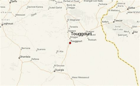
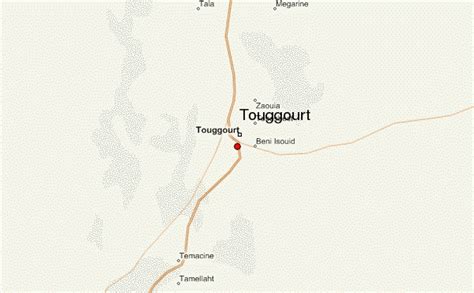
Location: Touggourt 🌎
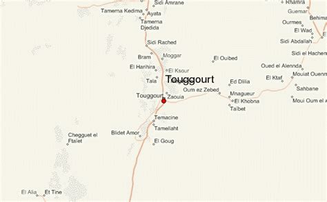
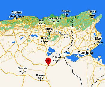
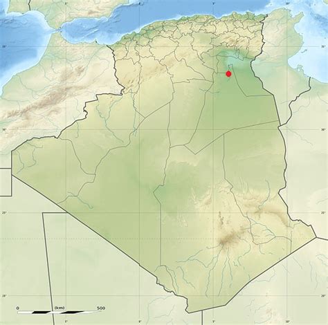
Location: Touggourt, Algeria Administration Region: Touggourt Population: 39409 ISO2 Code: Touggourt ISO3 Code: DZA Location Type: First-level Admin Capital Latitude: 33.1 Longitude: 6.0667
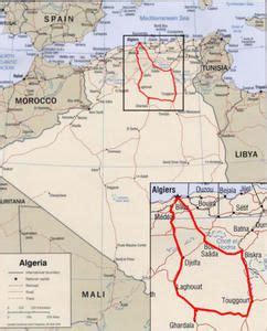
Touggourt (Arabic: ﺗﻗﺮت or تڤرت; Berber languages: ⵜⵓⴳⵓⵔⵜ, romanized: Tugurt, lit. ’the gateway’ or ‘the gate’) is a city and commune, former sultanate and capital of Touggourt District, in Touggourt Province, Algeria, built next to an oasis in the Sahara. As of the 2008 census, the commune had a population of 39,409 people, up from 32,940 in 1998, and an annual growth rate of 1.8%. Touggourt’s urban area includes the communes of Nezla, Tebesbest and Zaouia El Abidia, for a total population of 146,108.Touggourt is notable for its date trees. It was formerly surrounded by a moat, which the French filled up. Bradt Travel Guides describe it as “largely a modern town of block architecture” and “largely unattractive. The centre is quiet most of the day due to the heat but is more active at night when people take to the streets.”

Top Touggourt HD Maps, Free Download 🗺️
Map
Maps
United States
United States
World Map
China
China