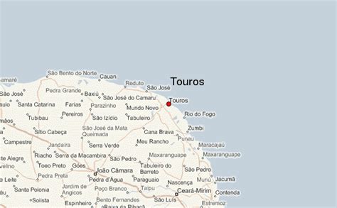
Location: Touros 🌎
Location: Touros, Brazil Administration Region: Rio Grande do Norte Population: 31089 ISO2 Code: Rio Grande do Norte ISO3 Code: BRA Location Type: Latitude: -5.1989 Longitude: -35.4608
Touros (lit. “bulls”) is a municipality in Rio Grande do Norte, Brazil. It is known as “Brazil’s Corner” because it is located at the northeast corner of the country, being the closest South American city to Africa (2,841 km from Kabrousse in southwestern Senegal). Touros has many fish, and there is a nearby seawater basin in the ocean formed by banks of coral.Bordering municipalities include Rio do Fogo to the southeast, Pureza to the south, João Câmara to the southwest, Parazinho further to the west and São Miguel do Gostoso to the northwest. Touros is near Rio Carnaubinha.

Top Touros HD Maps, Free Download 🗺️
Map
Maps
United States
United States
World Map
China
China