Location: Tredyffrin 🌎
Location: Tredyffrin, United States Administration Region: Pennsylvania Population: 31596 ISO2 Code: Pennsylvania ISO3 Code: USA Location Type: Latitude: 40.0633 Longitude: -75.3706
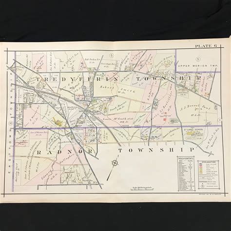
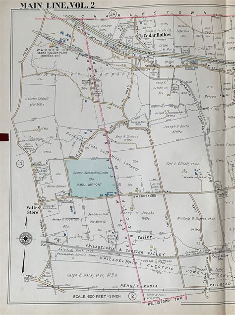
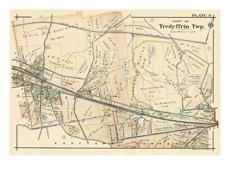
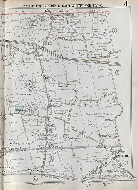
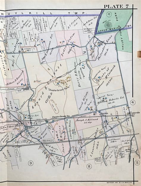
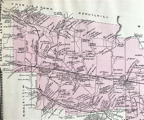
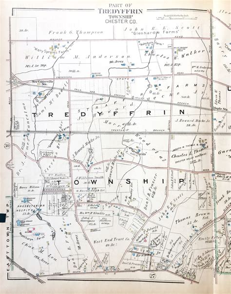
Tredyffrin Township ( Welsh: [trɛ’dɘfrɪn]) is a township located in eastern Chester County, Pennsylvania, United States. The population was 29,332 at the 2010 census. Settled in the late 17th century, Tredyffrin is bounded by Delaware and Montgomery counties. It includes on its northern boundary a small part of Valley Forge National Historical Park, where George Washington encamped during the American War of Independence. Tredyffrin and the entire Great Valley region also have many limestone deposits. Tredyffrin is the most populous township in Chester County. Unincorporated communities within Tredyffrin Township include Chesterbrook, Strafford, a portion of Paoli, and a portion of Wayne, Howellville (the intersection of Swedesford and Howellville Roads) and East Howellville (along Howellville Road, west of the intersection of Howellville Road and the border between Tredyffrin and Easttown Townships). Tredyffrin is bordered by Easttown, East Whiteland, Willistown, Charlestown, Upper Merion, Radnor and Schuylkill townships.

Top Tredyffrin HD Maps, Free Download 🗺️
Map
Maps
United States
United States
World Map
China
China