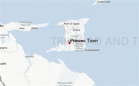
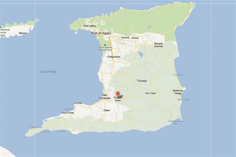
Trinidad and Tobago ( , ), officially the Republic of Trinidad and Tobago, is the southernmost island country in the Caribbean. Consisting of the main islands Trinidad and Tobago, and numerous much smaller islands, it is situated 11 kilometres (6.8 miles) off the coast of northeastern Venezuela and 130 kilometres (81 miles) south of Grenada. It shares maritime boundaries with Barbados to the east, Grenada to the northwest, Saint Vincent and the Grenadines to the north and Venezuela to the south and west. Trinidad and Tobago is generally considered to be part of the West Indies. The island country’s capital is Port of Spain, while its largest and most populous city is San Fernando.
The island of Trinidad was inhabited for centuries by Indigenous peoples before becoming a colony in the Spanish Empire, following the arrival of Christopher Columbus, in 1498. Spanish governor José María Chacón surrendered the island to a British fleet under the command of Sir Ralph Abercromby in 1797. Trinidad and Tobago were ceded to Britain in 1802 under the Treaty of Amiens as separate states and unified in 1889. Trinidad and Tobago obtained independence in 1962, becoming a republic in 1976.Trinidad and Tobago has the 5th highest GDP per capita based on purchasing power parity (PPP) in the Americas for a sovereign state after the United States, Canada, The Bahamas and Guyana as of 2022. It is recognised by the World Bank as a high-income economy. Unlike most Caribbean nations and territories, which rely heavily on tourism, the economy is primarily industrial with an emphasis on petroleum and petrochemicals; much of the nation’s wealth is derived from its large reserves of oil and natural gas.Trinidad and Tobago is well known for its African and Indian cultures, reflected in its large and famous Carnival, Diwali, and Hosay celebrations, as well being the birthplace of steelpan, the limbo, and music styles such as calypso, soca, rapso, parang, chutney, and chutney soca.