Location: Tubao 🌎
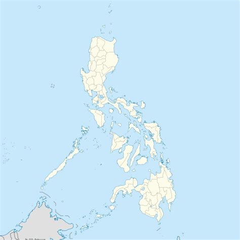
Location: Tubao, Philippines
Administration Region: La Union
Population: 31763
ISO2 Code: La Union
ISO3 Code: PHL
Location Type:
Latitude: 16.35
Longitude: 120.42
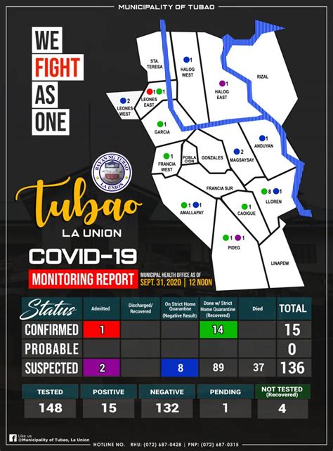
Tubao, officially the Municipality of Tubao (Ilocano: Ili ti Tubao; Filipino: Bayan ng Tubao), is a 4th class municipality in the province of La Union, Philippines. According to the 2015 census, it has a population of 28,729 people. Formerly known as the “Home of the Native Tobacco”, Tubao was famous for its tobacco leaf and cigars. It had a tobacco trade for decades where its town center was littered by huge tobacco warehouses and trading posts for tobacco. Today, corn is its prime agricultural output where Chichacorn is among its by-products.
The town has an average annual income of PHP 42,803,624 pesos.

Top Tubao HD Maps, Free Download 🗺️
Map
Maps
United States
United States
World Map
China
China


