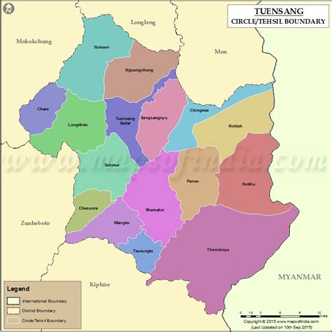
Tuensang (Pron:/ˌtjuːənˈsæŋ/) is a town located in the north-eastern part of the Indian state of Nagaland. It is the headquarters of the Tuensang District and has a population of 36,774. The town was founded in 1947 for the purpose of administrating the erstwhile North Eastern Frontier Agency (NEFA) that comprised the present day Districts of Tuensang, Mon, Longleng, Kiphire, Noklak and Shamator. Today, these six districts combined are also known as ‘Eastern Nagaland’.