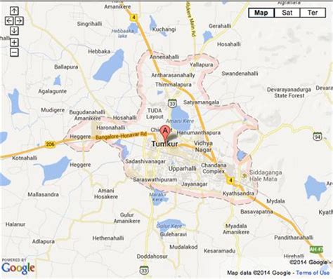
Location: Tumkūr 🌎
Location: Tumkūr, India
Administration Region: Karnātaka
Population: 599078
ISO2 Code: Karnātaka
ISO3 Code: IND
Location Type:
Latitude: 13.34
Longitude: 77.1
Tumkur, officially renamed as Tumakuru, is a city located in the southern part of Indian state of Karnataka. Tumkur is situated at a distance of 70 km (43 mi) northwest of Bangalore, the state capital along NH 48 and NH 73. It is the headquarters of the Tumkur district. It is located at an altitude of 835 m (2739.5 ft).Tumkur hosts India’s first mega food park, a project of the ministry of food processing. The India Food Park was inaugurated by Prime Minister Narendra Modi in September 2014. Tumkur is also included in the Smart Cities Mission list and is among the 100 smart cities to be developed in India. Since 28 August 2010, Tumkur has been accorded the status of a city corporation.

Top Tumkūr HD Maps, Free Download 🗺️
Map
Maps
United States
United States
World Map
China
China
