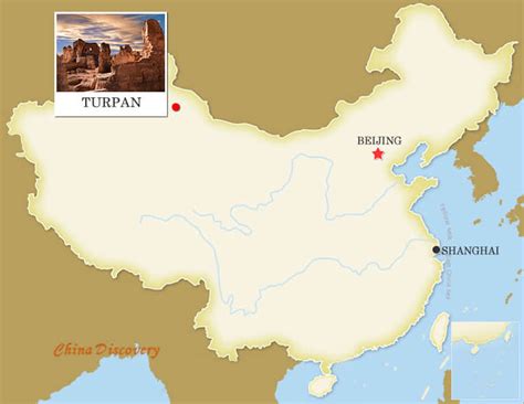
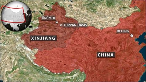
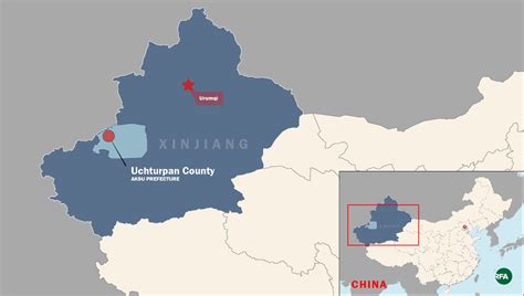
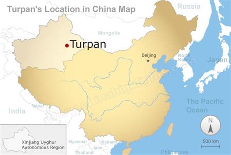
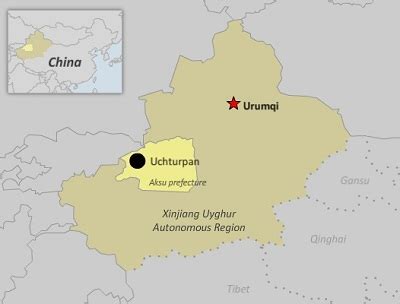
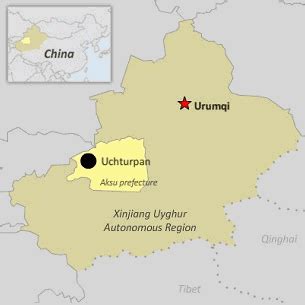
Uqturpan County or Uchturpan County (transliterated from Uyghur: ئۇچتۇرپان ناھىيىسى; Chinese: 乌什吐鲁番县), also Wushi County (Chinese: 乌什县), is a county in the Xinjiang Uyghur Autonomous Region under the administration of Aksu Prefecture and shares an approximately 150 km (93 mi) long border with Kyrgyzstan’s Issyk-Kul Region. The county is bordered to the northeast by Onsu County (Wensu), to the southeast by Aksu city, to the west by Akqi County in Kizilsu Kyrgyz Autonomous Prefecture and to the south by Kalpin County (Keping). It has an area of 9,012 square kilometres (3,480 sq mi) and as of the 2002 census a population of 180,000.