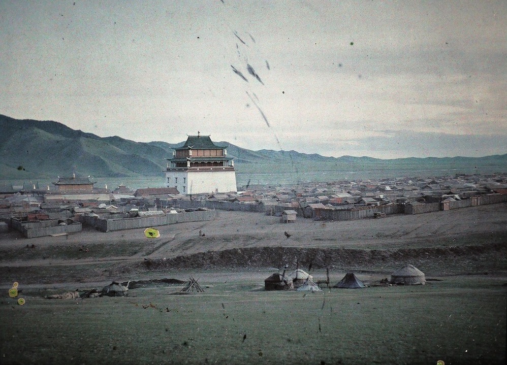
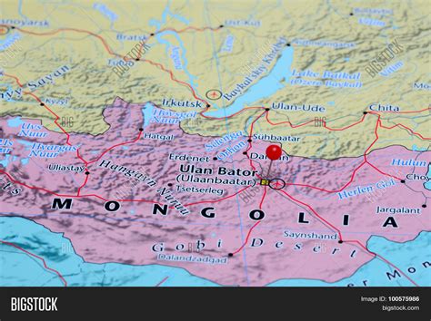
Ulaanbaatar (; Mongolian: Улаанбаатар, pronounced [ʊˌɮaːm‿ˈpaːʰtə̆r] , lit. “Red Hero”), previously anglicized as Ulan Bator, is the capital and most populous city of Mongolia. It is the coldest capital city in the world, on average. The municipality is located in north central Mongolia at an elevation of about 1,300 metres (4,300 ft) in a valley on the Tuul River. The city was originally founded in 1639 as a nomadic Buddhist monastic center, changing location 28 times, and was permanently settled at its current location in 1778.
During its early years, as Örgöö (anglicized as Urga), it became Mongolia’s preeminent religious center and seat of the Jebtsundamba Khutuktu, the spiritual head of the Gelug lineage of Tibetan Buddhism in Mongolia. Following the regulation of Qing-Russian trade by the Treaty of Kyakhta in 1727, a caravan route between Beijing and Kyakhta opened up, along which the city was eventually settled. With the collapse of the Qing Empire in 1911, the city was a focal point for independence efforts, leading to the proclamation of the Bogd Khanate in 1911 led by the 8th Jebtsundamba Khutuktu, or Bogd Khan, and again during the communist revolution of 1921. With the proclamation of the Mongolian People’s Republic in 1924, the city was officially renamed Ulaanbaatar and declared the country’s capital. Modern urban planning began in the 1950s, with most of the old Ger districts replaced by Soviet-style flats. In 1990, Ulaanbaatar was a major site of demonstrations that led to Mongolia’s transition to democracy and a market economy. Since 1990, an influx of migrants from the rest of the country has led to an explosive growth in its population, a major portion of whom live in Ger districts, which has led to harmful air pollution in winter.
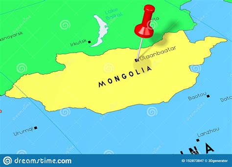
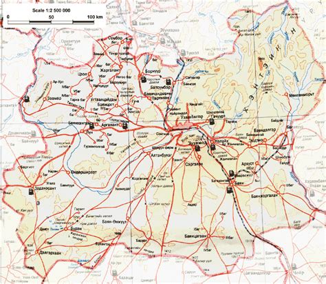
Governed as an independent municipality, Ulaanbaatar is surrounded by Töv Province, whose capital Zuunmod lies 43 kilometres (27 mi) south of the city. With a population of just over 1.5 million as of December 2022, it contains almost half of the country’s total population. As the country’s primate city, it serves as the cultural, industrial and financial heart as well as the center of Mongolia’s transport network, connected by rail to both the Trans-Siberian Railway in Russia and the Chinese railway system.