Location: Umuahia 🌎
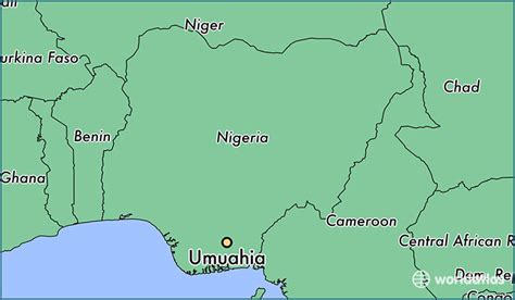
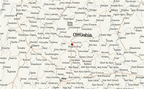
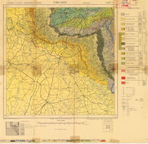
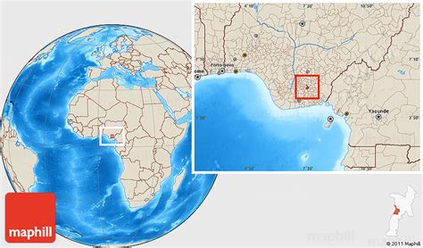
Location: Umuahia, Nigeria
Administration Region: Abia
Population: 359230
ISO2 Code: Abia
ISO3 Code: NGA
Location Type: First-level Admin Capital
Latitude: 5.5333
Longitude: 7.4833
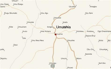
Umuahia (pronounced [ʊmʊaːhiaː]) is the capital city of Abia State in southeastern Nigeria. Umuahia is located along the rail road that lies between Port Harcourt to its south,and Enugu city to its north. Umuahia has a population of 359,230 according to the 2006 Nigerian census. Umuahia is indigenously Igbo.
Umuahia is renowned for being a railway and agricultural market center, which attracts traders and farmers from neighboring towns to sell their produce, such as yams, cassava, corn (maize), taro, citrus fruits, and palm oil and kernels. There are industries that help drive its economy, such as a brewery and a palm-oil-processing plant. Nigeria’s National Root Crops Research Institute, at Umudike, is adjacent to the town. Umuahia also has several colleges including Trinity College (theological), Government College Umuahia, Holy Rosary Girls Secondary School and hospitals like the Federal Medical Centre, Umuahia (formerly Queen Elizabeth Hospital) .Umuahia comprises two local government areas: Umuahia North and Umuahia South. These local governments are also composed of clans such as the Umuopara, Ibeku, Olokoro, Ubakala and Ohuhu communities.
Top Umuahia HD Maps, Free Download 🗺️
Map
Maps
United States
United States
World Map
China
China
