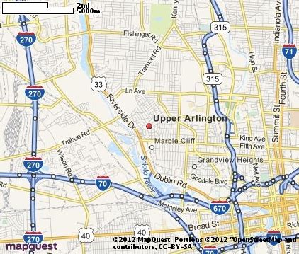
Location: Upper Arlington 🌎
Location: Upper Arlington, United States
Administration Region: Ohio
Population: 36566
ISO2 Code: Ohio
ISO3 Code: USA
Location Type:
Latitude: 40.0206
Longitude: -83.0664
Upper Arlington (often known by its initials U.A.) is a city in Franklin County, Ohio, United States, on the northwest side of the Columbus metropolitan area. As of the 2020 census, the population was 36,800. The Old Arlington neighborhood is listed on the National Register of Historic Places.
Top Upper Arlington HD Maps, Free Download 🗺️
Map
Maps
United States
United States
World Map
China
China
