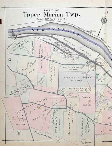
Location: Upper Merion 🌎
Location: Upper Merion, United States
Administration Region: Pennsylvania
Population: 33153
ISO2 Code: Pennsylvania
ISO3 Code: USA
Location Type:
Latitude: 40.0833
Longitude: -75.3497
Upper Merion Township is a township in Montgomery County, Pennsylvania. The population was 28,395 at the 2010 U.S. Census. Located 16 miles (26 km) from Philadelphia, it consists of the villages of Gulph Mills, King of Prussia, Swedeland, Swedesburg, and portions of Radnor, and Wayne.
The westernmost part of the township comprises the largest part of the 1,300-acre (5 km2) Valley Forge National Historical Park. The township is the home of the King of Prussia mall. King of Prussia also contains a major office park hosting firms such as Lockheed Martin and GlaxoSmithKline.
The name Merion originates with the county of Merioneth in north Wales. Merioneth is an English-language translation of the Welsh Meirionnydd, itself named after Meirchion (or Meirion), grandson of Cunedda Wledig (b. ca. 380 A.D.), King of North Wales.

Top Upper Merion HD Maps, Free Download 🗺️
Map
Maps
United States
United States
World Map
China
China
