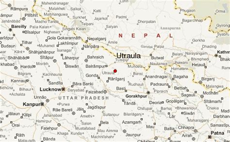
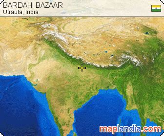
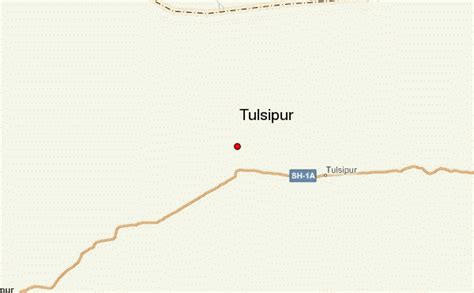
Location: Utraula 🌎
Location: Utraula, India
Administration Region: Uttar Pradesh
Population: 32145
ISO2 Code: Uttar Pradesh
ISO3 Code: IND
Location Type:
Latitude: 27.32
Longitude: 82.42
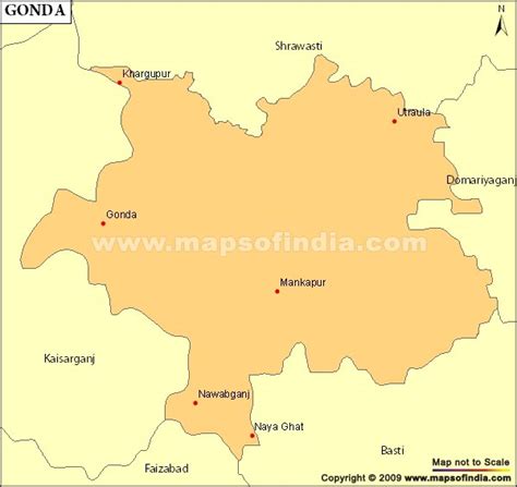
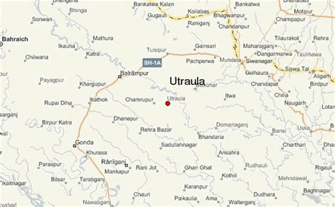
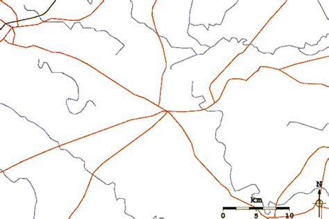
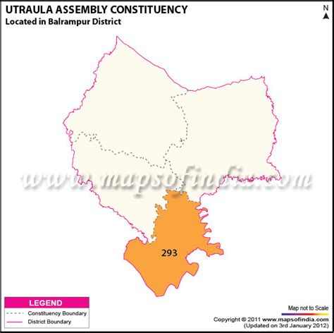
Utraula is a city and a municipal board in Balrampur district in the Indian state of Uttar Pradesh. It is approximately 90 kilometres from the border with Nepal and 175 km in north east of Lucknow. Utraula is situated near the West Rapti River.
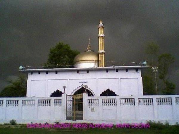
Top Utraula HD Maps, Free Download 🗺️
Map
Maps
United States
United States
World Map
China
China
