Location: Vadakku Valliyūr 🌎
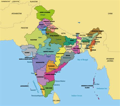
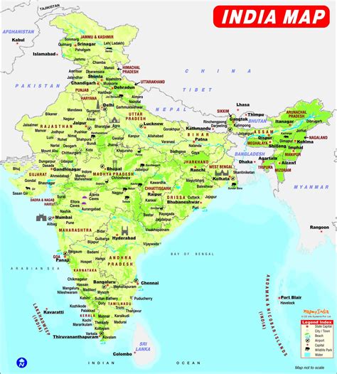
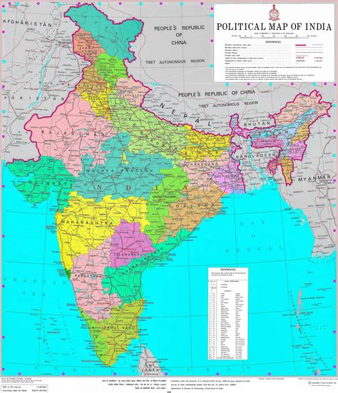
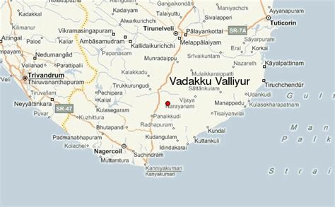
Location: Vadakku Valliyūr, India
Administration Region: Tamil Nādu
Population: 29417
ISO2 Code: Tamil Nādu
ISO3 Code: IND
Location Type:
Latitude: 8.4014
Longitude: 77.6174
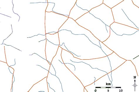
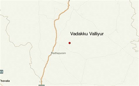
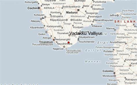
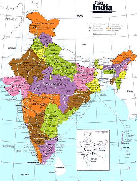
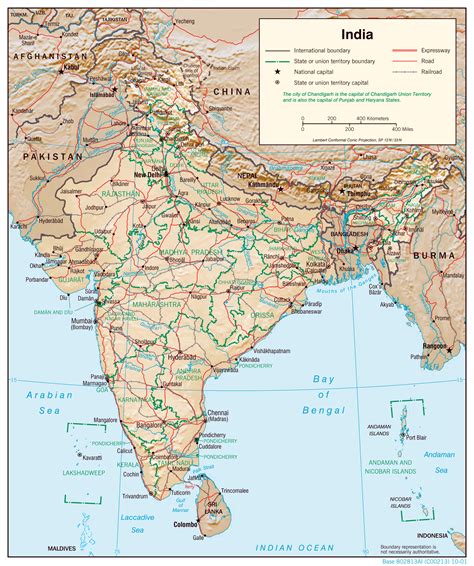
Vadakku valliyur or Valliyur is a Special Grade Town Panchayat in Radhapuram taluk in Tirunelveli district in the Indian state of Tamil Nadu.Valliyur is one of the fastest-growing towns in Tirunelveli district. This town is located along NH 7. It gets its name from the goddess Valli, consort of Lord Murugan. The place connects the big city of Tirunelveli to the city of Nagercoil and town of Kanyakumari on NH 7.
Once a shanty village with farmers and shepherds, the people of Valliyoor are known for their business acumen and high standard of education. The beautiful Murugan Temple, the oceanic Valliyoor Kulam, the wide and appeasing Kuravan Malai (Western Ghats) gives the town a beautiful look and feel. Vallioor has old temples, churches and good Kalyanamandapams, bus station, schools of international standards, fire stations, vibrant transport system and much more. The place is also provided with good schools and staying facilities.
Top Vadakku Valliyūr HD Maps, Free Download 🗺️
Map
Maps
United States
United States
World Map
China
China
