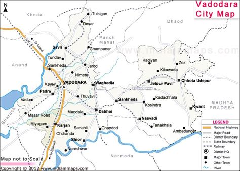
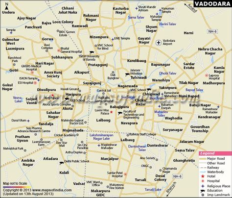
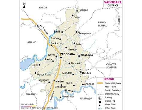
Location: Vadodara 🌎
Location: Vadodara, India
Administration Region: Gujarāt
Population: 2065771
ISO2 Code: Gujarāt
ISO3 Code: IND
Location Type:
Latitude: 22.3
Longitude: 73.2
Vadodara (Gujarati pronunciation: [lang]), also known as Baroda, is a major city in the Indian state of Gujarat. It serves as the administrative headquarters of the Vadodara district and is situated on the banks of the Vishwamitri River, 141 km (88 mi) from the state capital of Gandhinagar. The railway line and National Highway 8, which connect Delhi with Mumbai, pass through Vadodara. The city is named for its abundance of banyan (vad) trees. Vadodara is also locally referred to as the Sanskari Nagari (transl. ’Cultural City’) and Kala Nagari (transl. ’City of Art’) of India.
The city is prominent for landmarks such as the Laxmi Vilas Palace, which served as the residence of the Maratha royal Gaekwad dynasty that ruled over Baroda State. It is also the home of the Maharaja Sayajirao University of Baroda.

Top Vadodara HD Maps, Free Download 🗺️
Map
Maps
United States
United States
World Map
China
China


