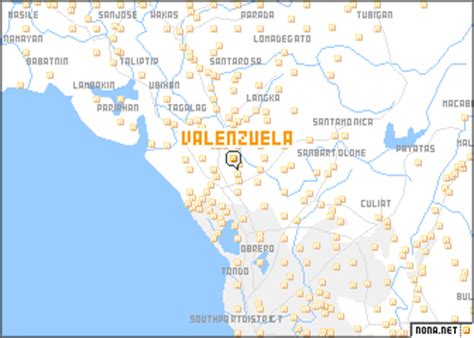
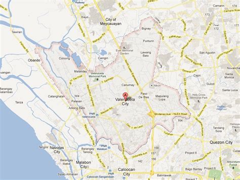
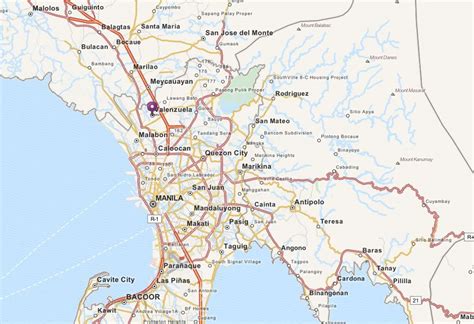
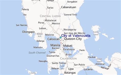
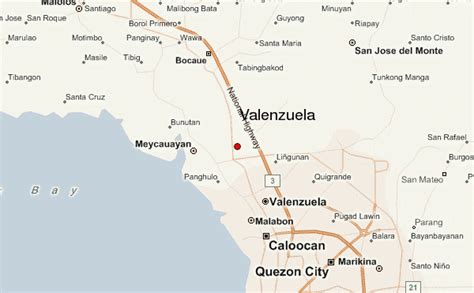
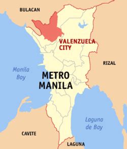
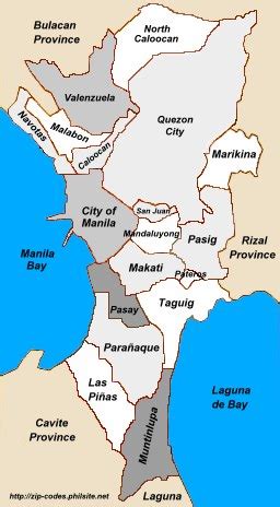
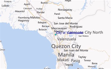
Valenzuela (, Tagalog: [ˌvalenˈswela]), officially the City of Valenzuela (Filipino: Lungsod ng Valenzuela), is a 1st class highly urbanized city in the National Capital Region of the Philippines. According to the 2020 census, it has a population of 714,978 people. It is the 6th most populous city in the National Capital Region, and the 11th most populous in the country. It is located about 14 kilometres (8.7 mi) north of Manila, the nation’s capital. Valenzuela is categorized under Republic Act Nos. 7160 and 8526 as a highly urbanized, first-class city based on income classification and number of population. A landlocked chartered city located on the island of Luzon, it is bordered by the province of Bulacan, and cities of Caloocan, Malabon and Quezon City. Valenzuela shares border and access to Tenejeros-Tullahan River with Malabon. It has a total land area of 45.75 square kilometers (17.66 sq mi), where its residents are composed of about 72% Tagalog people followed by 5% Bicolanos with a small percentage of foreign nationals.
Valenzuela was named after Pío Valenzuela, a physician and a member of the Katipunan, a secret society founded against the colonial government of Spain. The city, as a town, originally had the name Polo, initially formed in 1621 after separation from Meycauayan, Bulacan. The Battle of Malinta of the Philippine–American War was fought in Polo in 1899. In 1960, President Carlos P. Garcia ordered the split of Polo’s southern barangays to form another town named as Valenzuela. The split was revoked by President Diosdado Macapagal in 1963 after political disagreements and the new merged town was named Valenzuela. The modern-day Valenzuela with its borders was chartered in 1998.