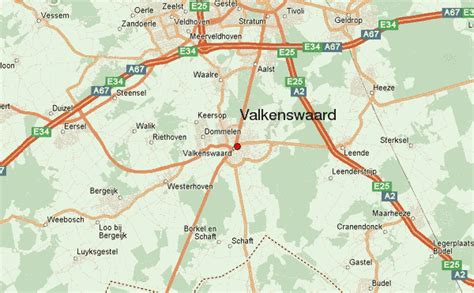
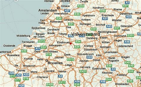
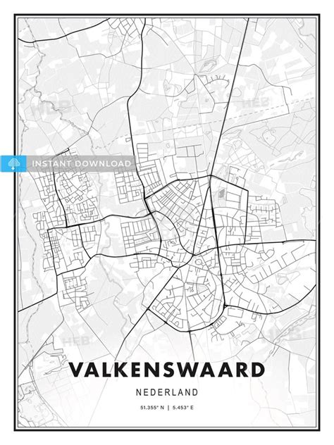
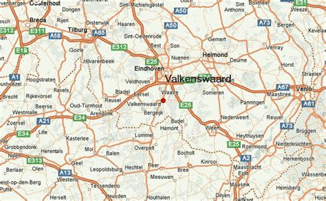
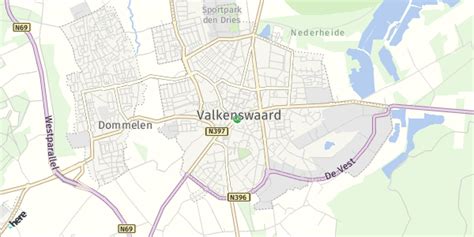
Location: Valkenswaard 🌎
Location: Valkenswaard, Netherlands
Administration Region: Noord-Brabant
Population: 31221
ISO2 Code: Noord-Brabant
ISO3 Code: NLD
Location Type: Lower-level Admin Capital
Latitude: 51.35
Longitude: 5.4667
Valkenswaard (Dutch pronunciation: [ˌvɑlkə(n)sˈʋaːrt] ) is a municipality and a town in the southern Netherlands, in the Metropoolregio Eindhoven of the province of North Brabant. The municipality had a population of 31,221 in 2021 and spans an area of 56.50 km2 (21.81 sq mi) of which 1.58 km2 (0.61 sq mi) is water.
The name Valkenswaard stems from its history of falconers, who caught wild falcons there; valk is Dutch for “falcon”. It lay on a route where falcons migrated south each year. In the 17th, 18th, and 19th centuries, Valkenswaardian falconers were active at many European courts, in which falconing was a beloved pastime. Valkenswaard’s falcon-catching area has now been built over and falcons are no longer caught there.
In the 19th and 20th century, a number of large cigar factories were founded in Valkenswaard, the two most renowned of which being Willem II and Hofnar.
A Second World War cemetery containing 220 British soldiers was created near Valkenswaard in October 1944. It is now maintained by the Commonwealth War Graves Commission.
The spoken language is Kempenlands (an East Brabantian dialect, which is very similar to colloquial Dutch).The Eurocircuit Valkenswaard is a motorsport racetrack that has hosted the European Rallycross Championship and the FIM Motocross World Championship.
Top Valkenswaard HD Maps, Free Download 🗺️
Map
Maps
United States
United States
World Map
China
China
