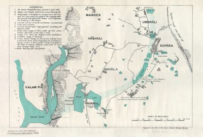
Vasai (Konkani and Marathi pronunciation: [ʋəsəi], formerly and alternatively Marathi; Bajipur) is a historical place and City near Mumbai’s western suburbs, located in Palghar district which was partitioned from the Thane district in 2014. It also forms a part of Vasai-Virar twin cities in the Konkan division of Maharashtra, India.
The Portuguese in Goa and Damaon built the Vasai Fort to defend their colony and participate in the lucrative spice trade and the silk route that converged in the area. Much of Portuguese Mumbai and Vasai was seized by Marathas during the period of Peshva rule, after the Battle of Vasai in 1739.
The British East India Company then took over the territory from the Maratha Empire in 1780 during the First Anglo-Maratha War.