Location: Ventanas 🌎
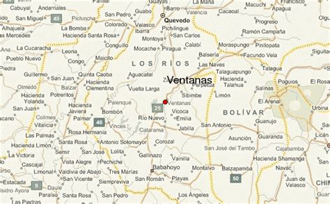
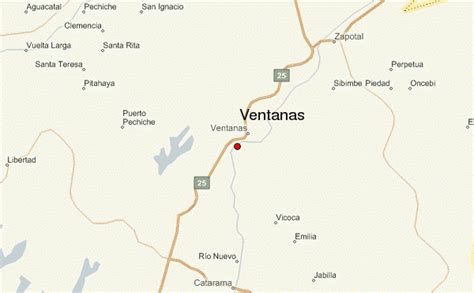
Location: Ventanas, Ecuador
Administration Region: Los Ríos
Population: 38168
ISO2 Code: Los Ríos
ISO3 Code: ECU
Location Type:
Latitude: -1.45
Longitude: -79.47
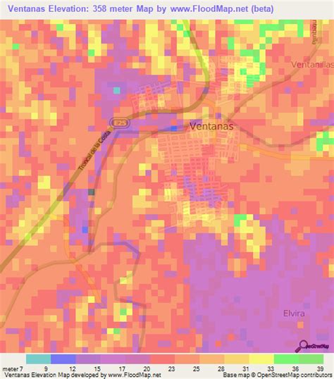
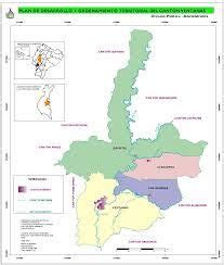
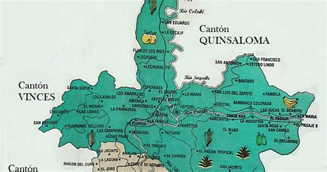
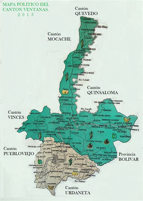
Ventanas it is an Ecuadorian city; head of the Ventanas Canton, in the Los Ríos Province, as well as the fourth largest and most populated city in the Province of Los Ríos. It is located in the center of the coastal region of Ecuador, on an extensive plain, crossed by the Zapotal River, at an altitude of 24 meters above sea level and with a rainy tropical climate of 26 °C on average.
It is called “The Corn Capital of Ecuador” for its important production of corn. At the 2010 census it had a population of 38,168, making it the thirty-sixth most populous city in the country. It is part of the metropolitan area of Babahoyo, since its economic, social and commercial activity is strongly linked to Babahoyo, being a “dormitory city” for thousands of workers who travel to that city by land daily. The conglomerate is home to more than 250,000 inhabitants.
Its origins date from the end of the colonial era. Since the middle of the 19th century, the city has presented a moderate, but constant demographic growth, due to its agricultural production, until establishing an urban town, which would later be one of the main urban centers of the province. It is one of the most important administrative, economic, financial and commercial centers of Los Ríos. The main activities of the city are trade, agriculture and livestock.
Top Ventanas HD Maps, Free Download 🗺️
Map
Maps
United States
United States
World Map
China
China
