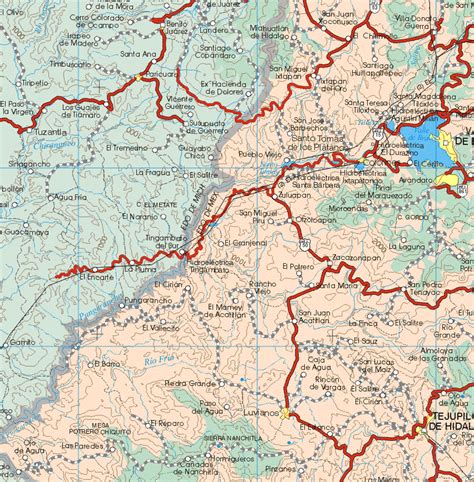
Donato Guerra is one of 125 municipalities in the State of Mexico, Mexico. It’s municipal seat is the town of Villa Donato Guerra, which is the 13th largest town in the municipality of Donato Guerra. The area is also known as Malacatepec (meaning ‘hill in the shape of a spindle) and La Asunción Malacatepec. (Villa) Donato Guerra is located in the western part of the State of Mexico. In the region that is identified with Valle de Bravo. The town was named in 1880 in honor of Donato Guerra, a distinguished soldier of the War of La Reforma. It is located around 77 kilometers from Toluca which is the capital of the state, on Federal Highway number 35 Mexico City – Zitácuaro.