Location: Villa Regina 🌎
Location: Villa Regina, Argentina
Administration Region: Río Negro
Population: 30028
ISO2 Code: Río Negro
ISO3 Code: ARG
Location Type:
Latitude: -39.1
Longitude: -67.0667
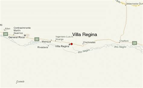
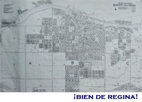
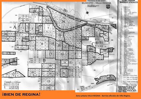
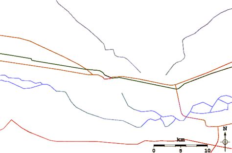
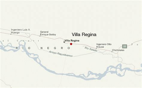
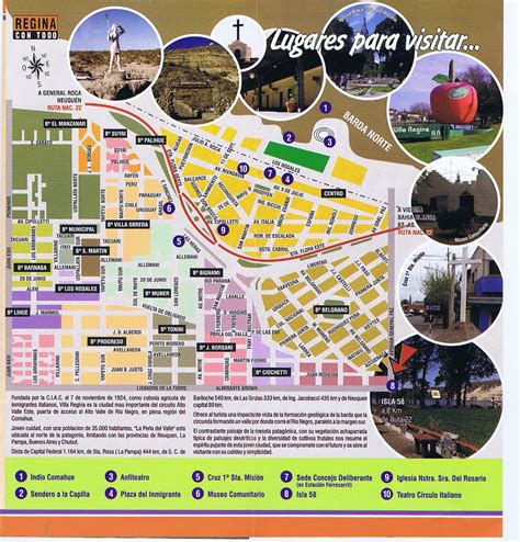
Villa Regina is a city in the General Roca Department of the province of Río Negro, Argentina. The city is connected to the rest of the towns in the Upper Río Negro Valley via National Route 22.
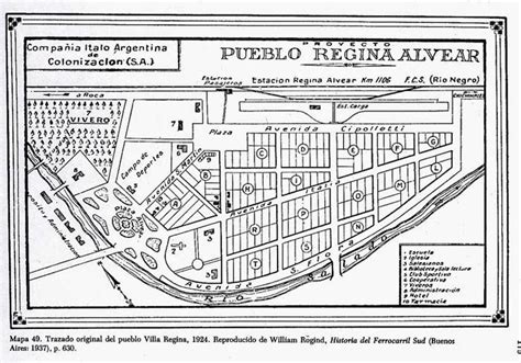
The city was built by the Italian-Argentine Colonization Company (Spanish: Compañía Italo-Argentina de Colonización), which purchased 5,000 hectares for urban development from the estate of Manuel Zorrilla. The lands were divided into four zones of 1,300 hectares, 1,200 hectares, 1,300 hectares, and 1,200 hectares. These zones were then subdivided into lots, which were sold to families that immigrated to Argentina from Italy. The settlement was established on November 7, 1924. It was originally named Colonia Regina de Alvear, after the wife of then-president Marcelo T. de Alvear, who had approved the project. The company developed the town with the help of Italian investors. In 1930, the government of Rio Negro created the municipality of Villa Regina, dissolving the Italian-Argentine Colonization Company. By 1939, the development of the four zones was completed. In 1987 the town wrote its first constitution, doing away with the position of municipal president and replacing it with the position of mayor.
Villa Regina is considered the capital of the Eastern Upper Valley micro-region. The surrounding area produces a large portion of the apple and pear harvests of Patagonia and also has a sizable grape harvest. The economy of the town is complemented by its canning and bottling plants, which compose the local industrial park. The city celebrates the Provincial Grape Harvest Festival annually and also hosts the National Comahue Fair biennially.
Top Villa Regina HD Maps, Free Download 🗺️
Map
Maps
United States
United States
World Map
China
China
