Location: Vinh 🌎
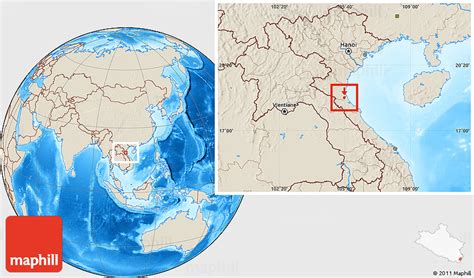
Location: Vinh, Vietnam
Administration Region: Nghệ An
Population: 490000
ISO2 Code: Nghệ An
ISO3 Code: VNM
Location Type: First-level Admin Capital
Latitude: 18.6667
Longitude: 105.6667
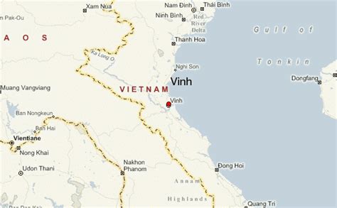
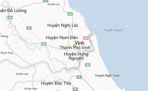
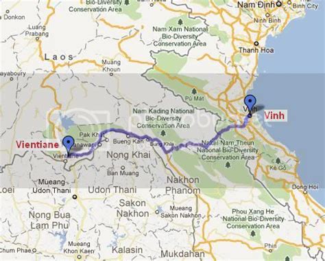
Vinh (Vietnamese: [viŋ̟] ) is the biggest city and economic and cultural center of north-central Vietnam. Vinh is the capital of Nghệ An Province, and is a key point in the East–West economic corridor linking Myanmar, Thailand, Laos and Vietnam. The city is situated in the south-east of the province, alongside the Lam River (Song Lam) and is located on the main north–south transportation route of Vietnam, easily accessible by highway, railroad, boat and air. The recently expanded Vinh International Airport is served daily by four carriers: Vietnam Airlines, VietJet Air, Bamboo Airways and Jetstar Pacific. On September 5, 2008, it was upgraded from Grade-II city to Grade-I city, the fifth Grade-I city of Vietnam after Haiphong, Đà Nẵng and Huế. Vinh is the most populous city in the North Central Coastal region, with over 490,000 residents (2015 estimate). The city is bordered by Nghi Loc district to the north and east, Hung Nguyen district to the west, and Nghi Xuan district in Hà Tĩnh Province to the south. Vinh is about 300 kilometres (190 mi) south of Hanoi and 1,400 kilometres (870 mi) north of Ho Chi Minh City. The total area of Vinh city is 104.97 square kilometres (40.53 sq mi), and includes 16 urban wards and 9 suburban communes.
Top Vinh HD Maps, Free Download 🗺️
Map
Maps
United States
United States
World Map
China
China


