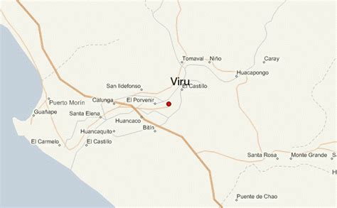
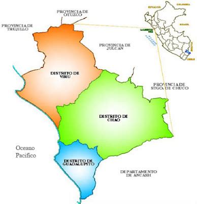
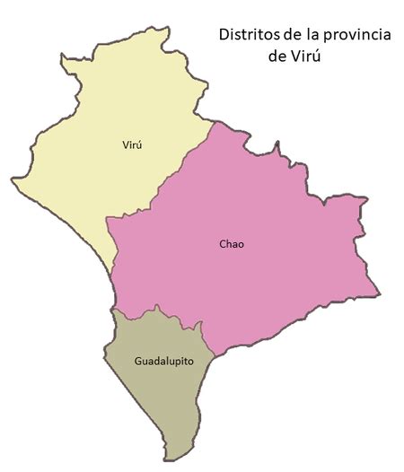
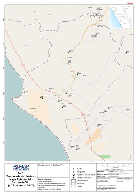
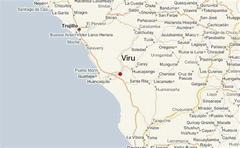
Location: Virú 🌎
Location: Virú, Peru
Administration Region: La Libertad
Population: 36029
ISO2 Code: La Libertad
ISO3 Code: PER
Location Type:
Latitude: -8
Longitude: -78.5
La Libertad (Spanish pronunciation: [la liβeɾˈtað]; in English: The Liberty) is a region in northwestern Peru. Formerly it was known as the Department of La Libertad (Departamento de La Libertad). It is bordered by the Lambayeque, Cajamarca and Amazonas regions on the north, the San Martín Region on the east, the Ancash and Huánuco regions on the south and the Pacific Ocean on the west. Its capital is Trujillo, which is the nation’s third biggest city. The region’s main port is Salaverry, one of Peru’s largest ports. The name of the region is Spanish for “freedom” or “liberty”; it was named in honor of the Intendencia of Trujillo’s proclaiming independence from Spain in 1820 and fighting for that. It is the ninth smallest department in Peru, but it is also its second-most populous department after Piura and its second-most densely populated department after Lambayeque.
Top Virú HD Maps, Free Download 🗺️
Map
Maps
United States
United States
World Map
China
China
