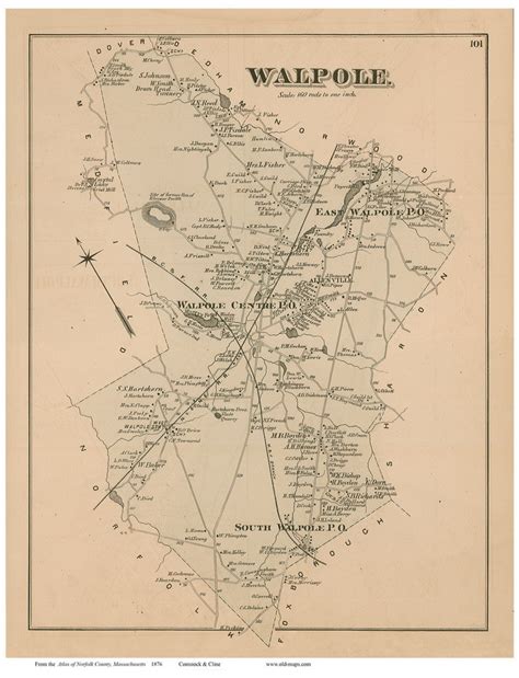
Location: Walpole 🌎
Location: Walpole, United States
Administration Region: Massachusetts
Population: 26413
ISO2 Code: Massachusetts
ISO3 Code: USA
Location Type:
Latitude: 42.1417
Longitude: -71.25
Walpole is a town in Norfolk County, Massachusetts, United States. Walpole Town, as the Census refers to it, is located about 25 miles (40 km) south of downtown Boston, Massachusetts, and 30 miles (48 km) north of Providence, Rhode Island. The population of Walpole was 26,383 at the 2020 census. Walpole was first settled in 1659 and was considered a part of Dedham until officially incorporated in 1724. The town was named after Sir Robert Walpole, de facto first Prime Minister of Great Britain. It also encompasses the entirely distinct entity of Walpole (CDP), with its much smaller area of 2.9 square miles.
Top Walpole HD Maps, Free Download 🗺️
Map
Maps
United States
United States
World Map
China
China
