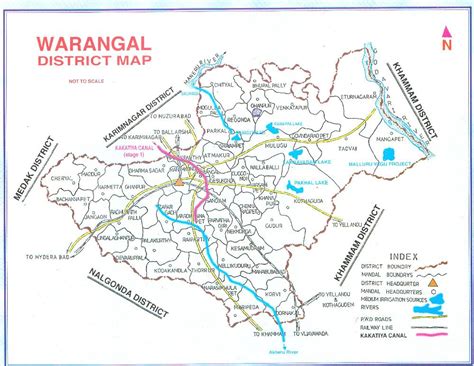
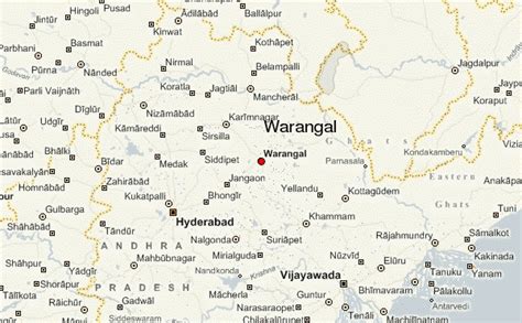
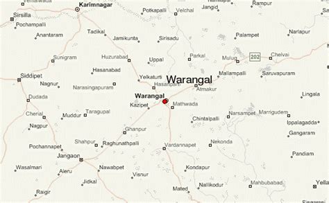
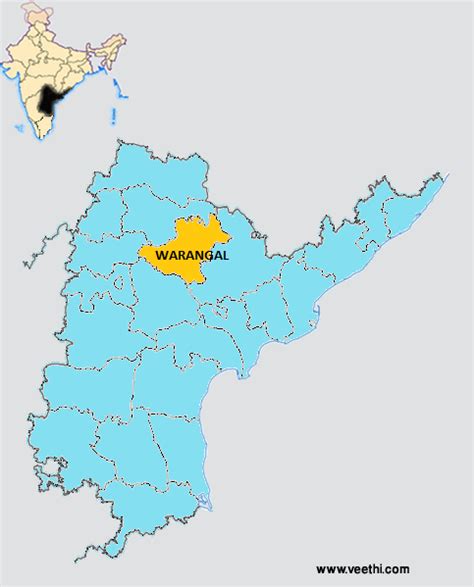
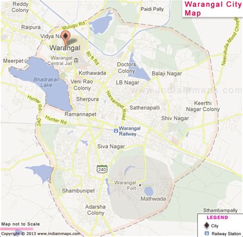
Warangal (pronunciation ) is a city in the Indian state of Telangana and the district headquarters of Warangal district. It is the second largest city in Telangana with a population of 704,570 per 2011 Census of India, and spreading over an 406 km2 (157 sq mi).
Warangal served as the capital of the Kakatiya dynasty which was established in 1163. The monuments left by the Kakatiyas include fortresses, lakes, temples and stone gateways which, in the present, helped the city to become a popular tourist attraction. The Kakatiya Kala Thoranam was included in the emblem of Telangana by the state government and Warangal is also touted as the cultural capital of Telangana.It is one of eleven cities in the country to have been chosen for the Heritage City Development and Augmentation Yojana scheme by the Government of India. It was also selected as a smart city in the “fast-track competition”, which makes it eligible for additional investment to improve urban infrastructure and industrial opportunities under the Smart Cities Mission.The three urban cities: Kazipet, Hanamkonda and Warangal are together known as Warangal Tri-City. The three cities are connected by the National Highway 163 (Hyderabad–Bhuvanagiri–Warangal–Bhopalpatnam). The major stations are Kazipet Junction railway station and Warangal railway station.