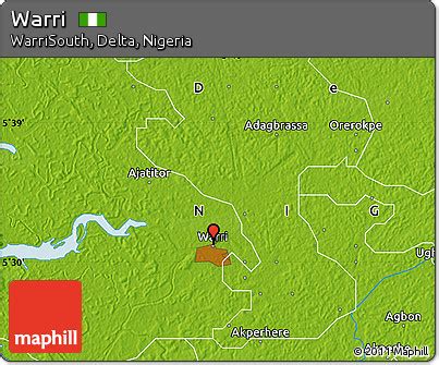
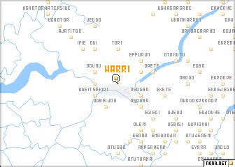
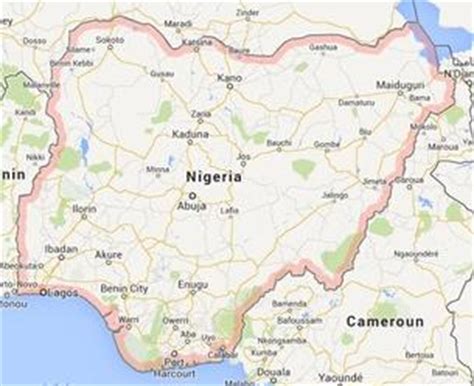
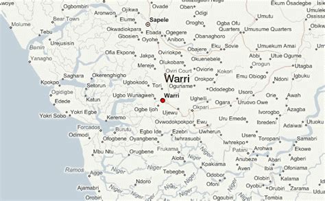
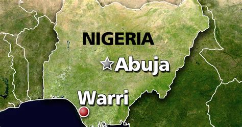
The city of Warri is an oil hub within South-South Nigeria and houses an annex of the Delta State Government House. Warri City is one of the major hubs of the petroleum industry in Nigeria. Warri and her twin city, Uvwie are the commercial capital of Delta State with a population of over 311,970 people in 2006. The city is the indigenous territory of Urhobo, itsekiri and Ijaw people.
Warri shares boundaries with Uvwie to the east, Udu to the south east, Ogbe-ijoh to the south, and other communities in Warri South LGA to the west. Due to its rapid population growth and linked roads, the city and its border towns e.g. Uvwie, Udu merged into a conurbation collectively referred as “Warri”
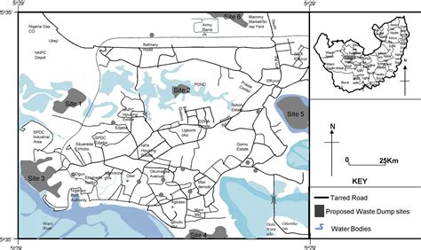
Warri sits on the bank of Warri River which joined Forcados River and Escravos River through Jones Creek in the lower Niger Delta Region. The city has a modern seaport which serves as the cargo transit point between the Niger River and the Atlantic Ocean for import and export.
Warri served as the capital of the colonial Warri Province during the early 1900s when this part of Delta State was under the Colony and Protectorate of Southern Nigeria.Warri City is native to four monarchs, namely;
• The Olu of Warri (itsekiri)• The Ovie of Agbarha-Ame (Urhobo)• The Orosuen of Okere-Urhobo (Urhobo)• The Pere of Ogbe-ijaw (Ijaw)